RAF Portreath – EGPR v1.0
RAF Portreath – EGPR
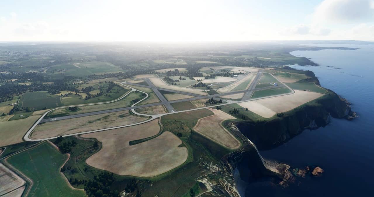
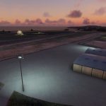
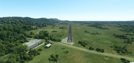
This is a hand crafted recreation of RAF Portreath which officially closed as an active airfield in 1950, and has been used as a chemical weapons centre, and is now an air defence radar station operated by the Royal Air Force. It has a coastal location at Nancekuke Common, approximately 1.25 kilometres (0.78 mi) north east of the village of Portreath in Cornwall, England.
Its radar (housed in a fibre glass or golf ball protective dome) provides long-range coverage of the south western approaches to the United Kingdom.
Please note the ICAO code is fictional as this is not an active airfield today.
Includes:
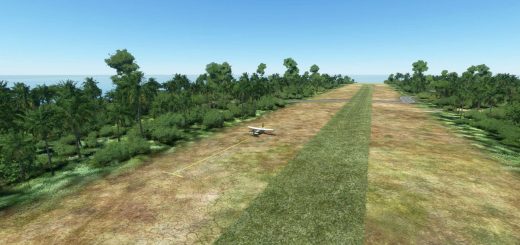
· Runways (1 active, 3 inactive)
· Taxiways with lighting
· 5 parking spots
· Working ATC (fictional frequencies)
· Working ILS (Runway 24 – Frequency 111.4) – I haven’t figured out creating Approaches yet, so you’ll have to manually intercept the ILS.
· Custom model and texture for the radar dome
· ‘Base’ static scenery for all other buildings, etc
· Terraformed coastline around the airport (can still be a little glitchy as MSFS was designed for cliffs it seems!)
· Night lighting
Installation:
Extract the “gobby-egpr-raf-portreath” folder to your Community folder.

