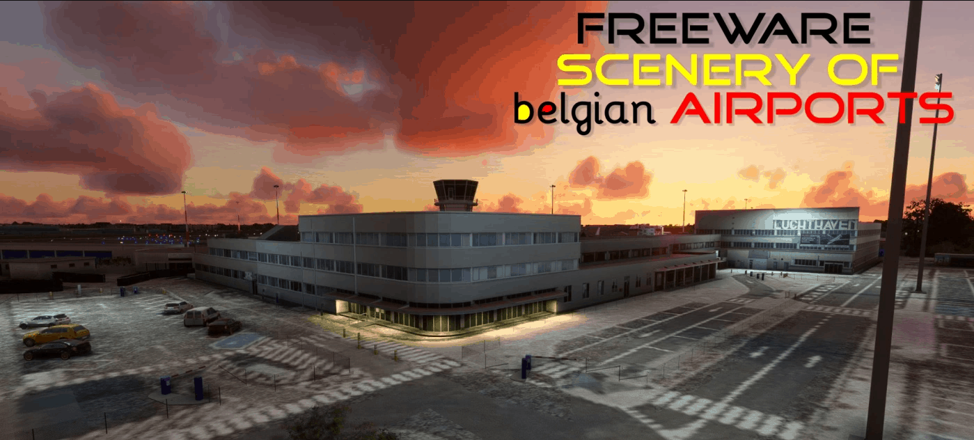
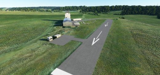
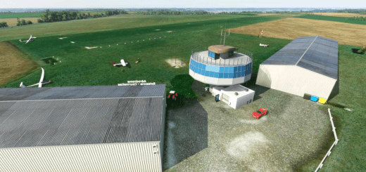
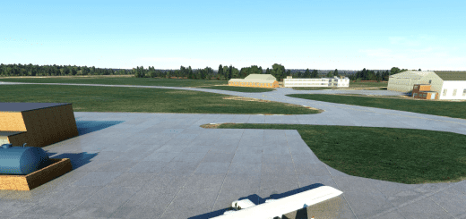
EBAW Antwerpen Deurne, Belgium v2.0.1
EBAW, Antwerpen, for MSFS2020
If you downloaded v2.0.0, you only need the upgrade version to go to v2.0.1
Read the text-file for installation instructions!
Antwerp International Airport (ANR/EBAW) is a small international airport serving Antwerp, the second most populous city of Belgium.
Located 2.9 nautical miles (5.4 km; 3.3 mi) south of the city, it is used for some scheduled and charter flights as well as business and general aviation and served 110,320 passengers in 2012.
The airport consists of one small passenger terminal with basic facilities including service desks and a restaurant.
The apron features ten stands for smaller aircraft such as the Fokker 50. As there are no jet bridges, walk-boarding is used.
Due to its short runway length only just over 1,510 m (4,900 ft), it is not possible to operate larger aircraft than the Boeing 737 or A320 at the airport.
The airport was operated by the Department of Mobility and Public Works of the Flemish Government which made an agreement with the French engineering group Egis Group to operate it starting 2014 for a duration of 25 years.
It is also home to several flying schools, aircraft maintenance and repair workshops, operators of business jets, to several hangars for private aircraft, and to the Stampe-Vertongen Museum.
Big thanks to all of the following people who helped with the creation of this project: Johan P, Willy B, Paul S, Gustaaf V, Bob G, Katleen P, Luc DV, Paul C, Filip V.
Without them it would simply have been impossible to complete.
A special thank you goes out to the Airport Management and security for their extraordinary cooperation!
Thanks to the following companies for allowing their properties to be photographed and included in this scenery (in no specific order)
Egis, Flemish Government, RAAC, VLM, the Aviation Factory, AeroData, Europilot Center, Flying Group, BAFA, ASL, NextGen Aviation, Stampe & Vertongen Museum,
Raymond’s Aircraft Restoration, BelAir, Lindsky Aviation, Vizion Air, Blue Sky Aviation.
This MSFS2020 scenery is made by Jan Cuypers.
The airport buildings were designed by Johan Peeters and been recompiled for MSF2020 by Jan Cuypers, with permission from Johan Peeters.
Thank you, Johan for submitting also some static aircraft models you see on Apron 1 & 2.
Some apron- and taxiway textures, and several buildings in the scenery are from google earth.
The level of the Albert Canal has been corrected between Merksem and Massenhoven.
Please also read the documents in the “Info v1 (FSX-P3D)” folder
Installation
1. Unzip.
2. Place the folder “EBAW_MSFS2020” in the MSFS2020 community-map.
GPS Coordinates: 51.1900 4.4630

