Tieton State Airport (4S6), WA, US v1.0
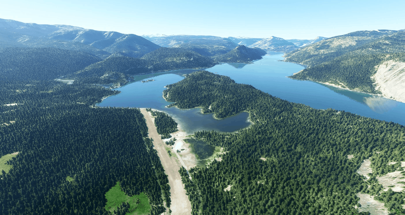
Tieton is a WSDOT (Washington State Department of Transportation) managed airport.
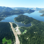
It sits on the shore of Rimrock Lake, nearby Rimrock city and in front of the amazing Kloochman Rock, a jagged, immense, piece of rock rising almost 2000ft high.
Ranger Creek is literally at a stone thrown away and Strom or Swanson make for a quick trip with some fantastic panoramic views over Mt. Rainer, St. Helens and Mt. Adams.
The airport has a long and wide runway making comfortable access even to twin engines and light turboprops.
Take altitute into account as the airport is at 3000ft altitude approximately, hot summer days could create air density concerns to account for.
The area is a popular resort and outdoot activity site as you will see.
A POI has been added for Kloochman Rock on the map.
CREDITS – IMPORTANT NOTE – READ CAREFULLY
In order for this scenario to work correctly you need to have installed Dave’s 3D People Libbrary by BadMed
Many many thanks to BadMed for this precious library.
GPS Coordinates: 46.636737, -121.125136

