KUCC – Yucca Airstrip v1.0
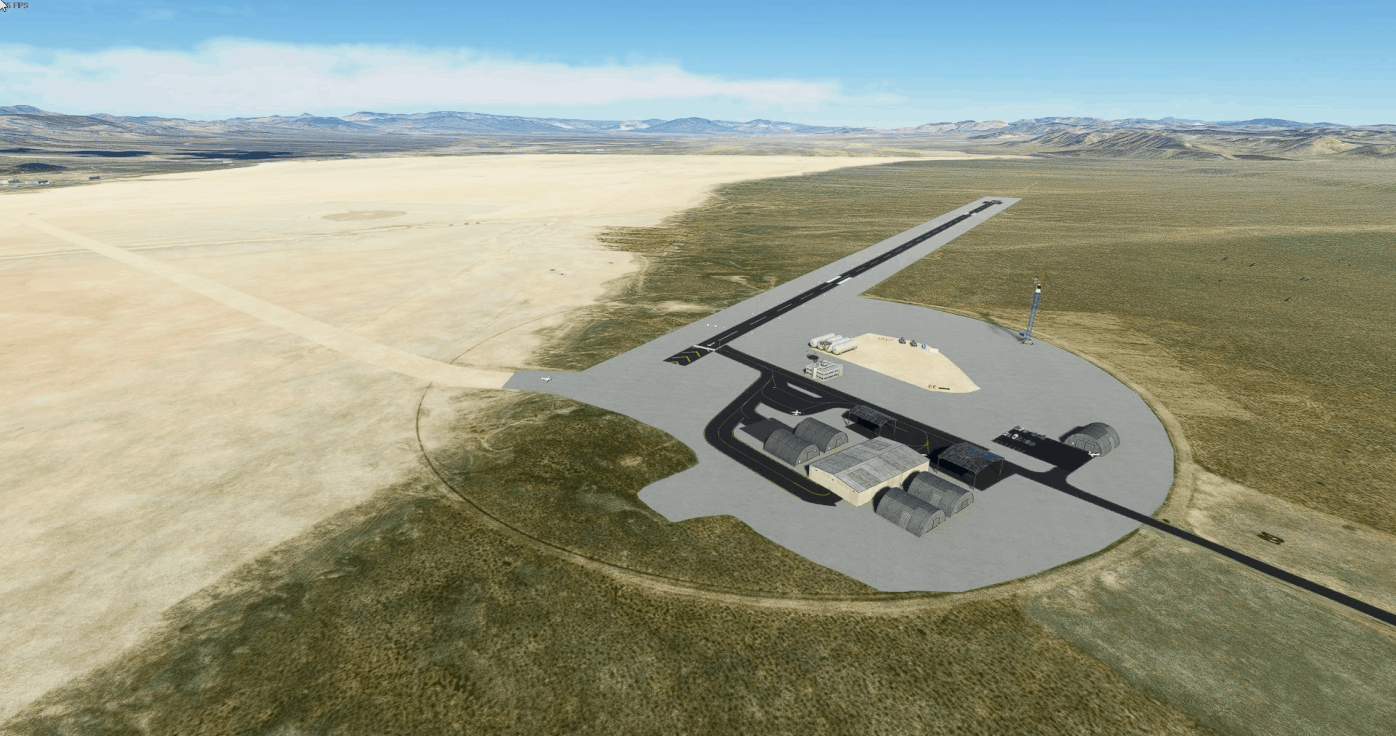
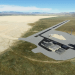
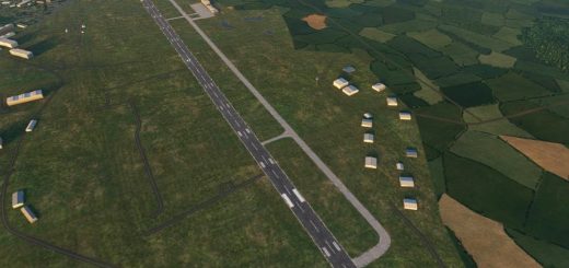
Yucca Airstrip (IATA: UCC, ICAO: KUCC, FAA LID: NV11) is a private-use airport located 17 miles (27 km) north of the central business district of Mercury, in Nye County, Nevada, United States. The airport is located on the Nevada Test Site[1] and is owned by the United States Department of Energy.
Runway 01/19: 4,990 x 75 ft (1,521 x 23 m), surface: Asphalt
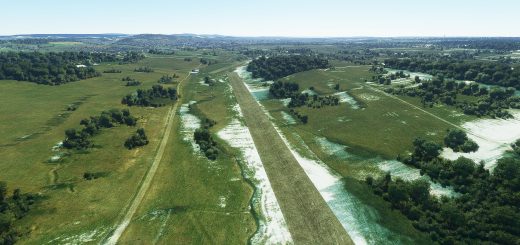
Runway 14/32: 9,000 x 200 ft (2,743 x 61 m), surface: Salt
I’m not 100% happy with the finished product so expect another update later to smooth some things out/fix some textures and whatnot.
GPS Coordinates: 36.927172777070204, -116.0077175252859




I used to drive past this regularly when I lived in Nevada. Airport has an interesting history and was reportedly used for CIA “Extra Renditions.” Google it sometime if you aren’t familiar with it.