BIGR – Grímsey Airport v1.1
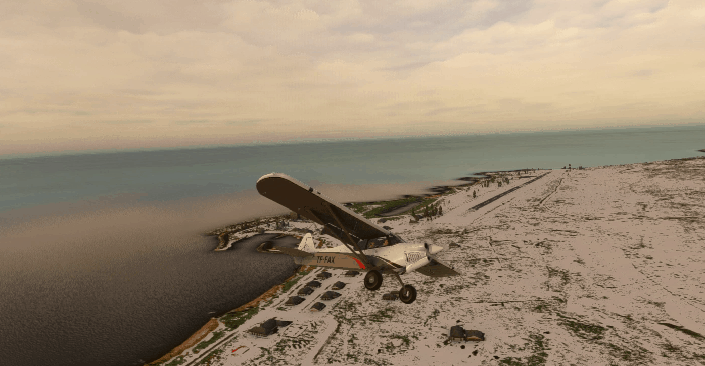
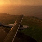
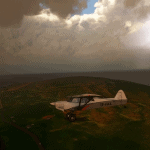
Looking for a challenge? Try out landing here at Grimsey island with the custom-made airport (ICAO: BIGR) and google maps aerial imagery! The island is just north of Iceland so naturally, the airport there presents itself with some difficulty with the wind and sea battering your aircraft from all directions and testing your skills as a pilot. If that’s not enough, the runway is only 23 meters across so being accurate is key. With 105 georeferenced points, you will see that every building is matched up with the real-life one down to the decimeter.
This Scenery Is Fully Compatible With Iceland Overhaul by Baddweapon
After countless forum posts about how the Grimsey airport or the island as a matter of fact was not available in Microsoft Flight Simulator, I decided to take matters into my own hands and learn from scratch how to create scenery. Hope you like it and the many more versions to come!
-VERSION HISTORY-
1.2 – (WIP) Terrain issues addressed and are being ironed out
1.1 – Added PAPI lights and proper runway lighting based on official documentation.
-DISCLAIMER-
This is a work in progress and you will most likely find some odd things like grey-roofed buildings because of the previous bing maps imagery. If you do have any thoughts on how I can improve this scenery, please leave a comment! Other than that, I hope you’ll enjoy this simple yet challenging airport!
-HOW TO DOWNLOAD-
Grab and move the two folders from the .zip file (toasterpilot-airport-bigr-grimseyairport and toasterpilot-bigr-aerial) into your community folder inside Microsoft Flight Simulator
GPS Coordinates: 66.54799555952783, -18.019282075323865


![[fictional]RCKD – Eluanbi Airport v1.0](https://www.allflightmods.com/wp-content/uploads/2021/01/fictionalRCKD-Eluanbi-Airport-v1.0-520x245.png)
