Palma de Mallorca, Islas Baleares, Spain v1.1
IMPORTANT!! This scenery has two zip files. Download both and unzip both on Community folder keeping folder structure (use “Extract here” on 7-zip)
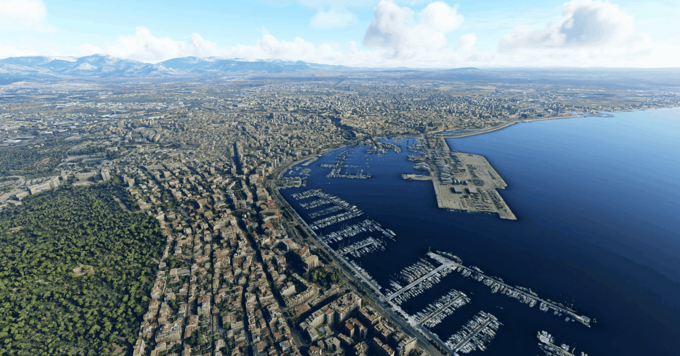
Palma de Mallorca is the capital and largest city of the autonomous community of the Balearic Islands in Spain.[4] It is situated on the south coast of Mallorca on the Bay of Palma. The Cabrera Archipelago, though widely separated from Palma proper, is administratively considered part of the municipality. As of 2018, Palma Airport serves over 29 million passengers per year.
Scenery
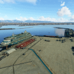
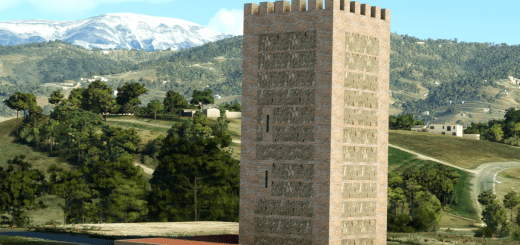
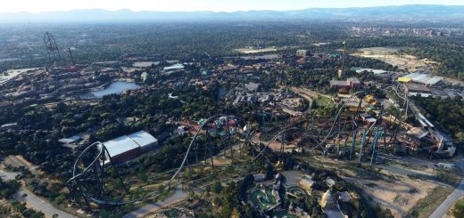
Palma de Mallorca city and surrounding areas based on Google Maps photogrammetry.
In next version I will expand to the east to include all the coastline to El Arenal and Cabo Enderrocat
Installation
Unzip both files on community folder. Use 7-zip if you have problems unzipping.
Known Issues
– The area around Miravent palace doesn’t have photogrammetry in Google Maps. Anyways, it looks way better than MSFS default.
– This scenery is heavy and uses a lot of RAM. A high-end machine is recommended. If you have less than 32GB you may need to increase your page file and make sure it is placed on an SSD drive for better performance.
GPS Coordinates: 39.566507, 2.648654

