Joigny airfield – LFGK v1.0
This is Joigny airfield !
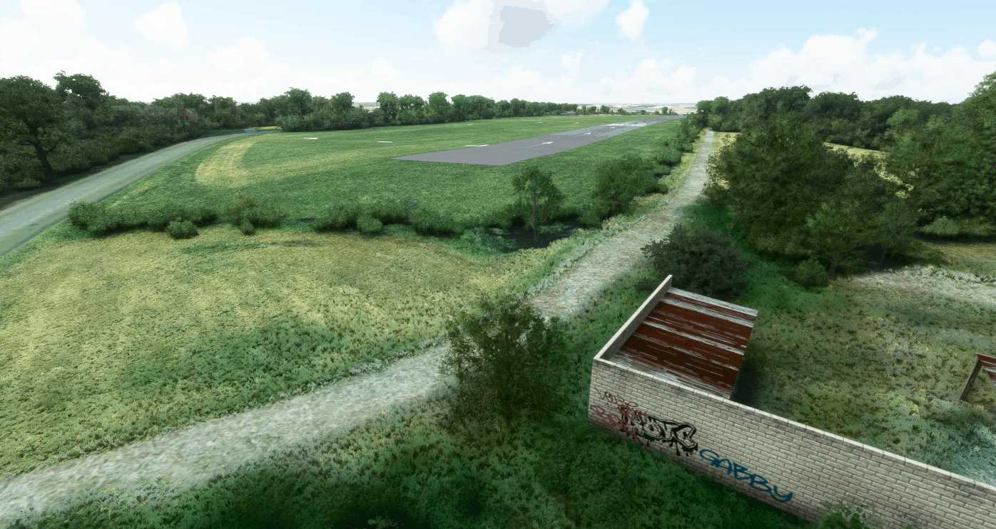
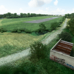
Nestling on a plateau above Yonne river and Joigny city, this small lovely airfield offers a 1050m paved runway (recently reworked, hence the differences in asphalt colors), as well as a 700m grass runway.
This MSFS version offers :
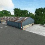
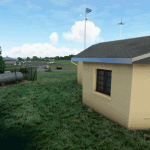
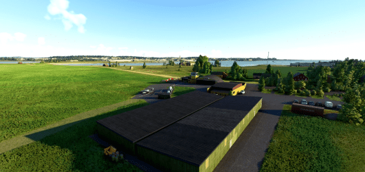
High fidelity handcrafted buildings (clubhouse, hangar, fueling station
PBR textures
Completely reworked runway to match actual markings (and old not-so-well-erased markings ) and patched area
Some vicinity buildings with less details, like the dog-club (down left when on short final 26).
High definition aerial imagery
Local terrain edition to reproduce actual runway slope
Hedges on airfield boundaries (only where there are in real life)
I would like to thank most sincerely Mr Pierre-Luc Jobert (President of Les Ailes Joviennes airclub), Mr Patrick Tuis (Auxerre Drone Expertise), and Mr Alain Bernier (member of Les Ailes Joviennes), for providing me with hundreds of on-site pictures and raw 3D models.
As usual, installation is done via a simple drag&drop of the dezipped archive.
Enjoy Joigny
Cyril “ScenaReal” REAL
GPS Coordinates: 47.99462019438287, 3.3915412762494697

