CYVM – Qikiqtarjuaq (Broughton Island) Nunavut Canada v1.0
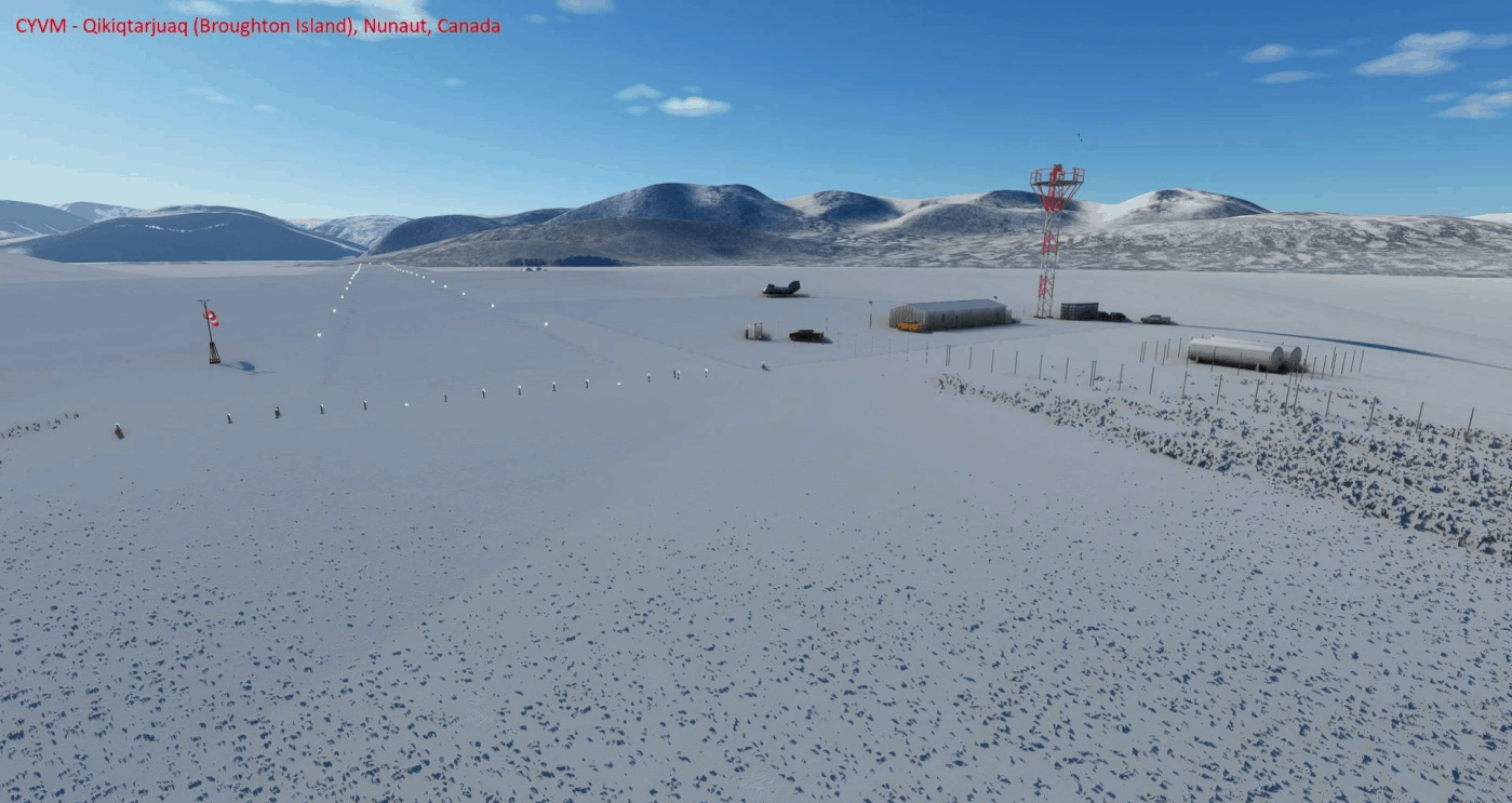
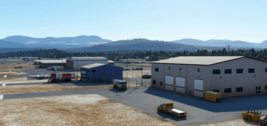
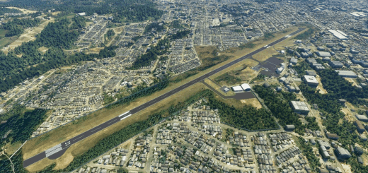
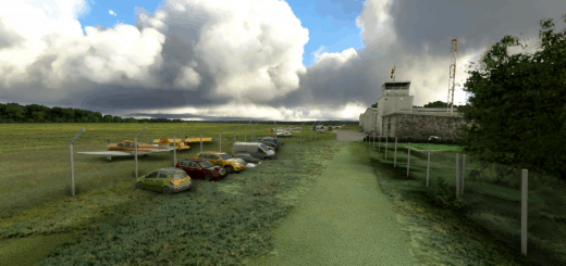
CYVM Qikiqtarjuaq (Broughton Island), Nunavut, Canada – This airstrip was missing in Microsoft Flight Simulator 2020.
Scenery includes:
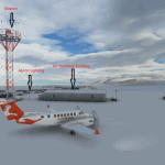
* 3800 x 100 feet gravel airstrip at 21 feet elevation
– Medium intensity runway lighting
– Threshold end lighting
– Runway end identification lights
– Windsocks at each end of the runway
– Apron
– Refueler
– Beacon Tower
– Air terminal building
* Vehicles at various locations on the roads around the island.
* Removal of most trees from the area. (There are none on the island in reality).
Improvements to come:
* Improved runway markings and approach markers.
* Adding shipping in the area.
* Changing textures to better represent the high arctic tundra vegetation of the area.
* removal of more trees on the surround landscape.
* addition of Points of Interest (POIs) identifying nearby features.
* addition of buildings on the summit to the south of the island.
Location details of the airstrip:
* ICAO: CYVM
* IATA: YVM
* Airstrip location: 67-32-48 N, 64-01-54 W (67.546667, -64.031667)
History:
Qikiqtarjuaq is located on Broughton Island off the eastern coast of Baffin Island. It is an Inuit community of around 600 people north of a former Distant Early Warning (DEW) line radar station known as FOX-5 built in 1956-57. It was also known as Site 39. The DEW Line site was closed in 1991 when the North Warning System (NWS) Short Range Radar site became operational.
Installation:
Place the folder in your community folder and enjoy – the airstrip is starred and located off the eastern coast of Baffin Island
I hope you enjoy the updated area!
GPS Coordinates: 67.546667, -64.031667

