YJLC – Julia Creek Airport v1.0
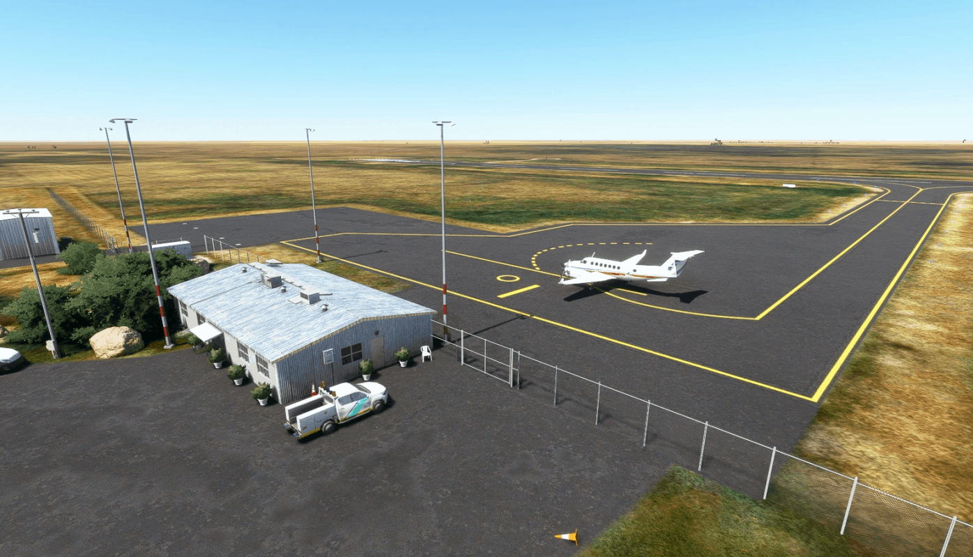
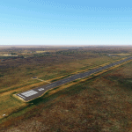
Julia Creek Airport is a small public airport serving the rural town of Julia Creek, Queensland. It sits about 2km SW of the town, and 140km East of Mount Isa. The airport is served by Regional Express with regularly scheduled flights to Hughenden, Mount Isa, Richmond, and Townsville. Private charters, state government flights, and both regular clinic and emergency medical flights also use the airport regualrly.
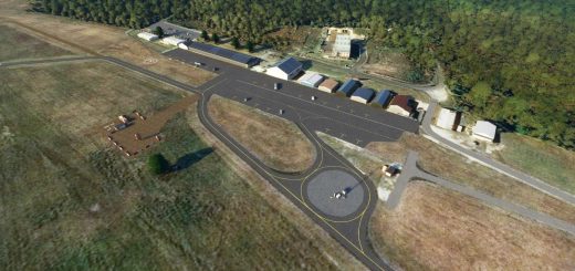
The main focus with this scenery was to remove the automatically generated buildings from the apron and update the scenery, as a lot of work has been done since the satellite imagery was taken. This scenery uses all stock assets, you don’t need to download anything else for it to work.
Version 1.0:
Improved the runway turnarounds and material
Removed random buildings from the apron
Updated the apron to its new shape with the extension on the south east corner
Added new windsock locations at each end of the runway, and removed the autogen windsock
Added gabels and cones
Added blue taxiway lighting
Improved painted lines on apron and runway
Fixed stand locations
Removed blurry autogen road
Removed airport service vehicles
Added NDB masts and equipment NW of the apron
Improved general airport scenery
Removed trees from roads and railway
Misc. scenery and vegetation fixes/additions
Known Issues:
Runway light in the taxiway (may sometimes appear correctly embedded in the taxiway)
No perimeter fence (won’t happen until Asobo develops a fence tool)
Minor ground texture issues
If I’ve overlooked anything or you have any suggestions, please leave a comment.
Thanks, and enjoy!
GPS Coordinates: -20.66776997875597, 141.7208550354865

