perranporth EGTP v1.0
Perranporth EGTP
Elevation AMSL 330 ft / 101 m
Runways
Direction Length Surface
05/23 923(m) 3,028(ft) Asphalt
09/27 741(m) 2,431(ft) Asphalt
01/19 650(m) 2,133(ft) Asphalt
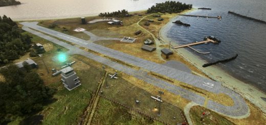
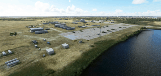
Perranporth Airfield (ICAO: EGTP) airfield is located in Cornwall 1.5 NM (2.8 km; 1.7 mi) southwest of Perranporth and 6 NM (11 km; 6.9 mi) southwest of Newquay, in the village of Trevellas, Cornwall, England, United Kingdom. It is a former Second World War Royal Air Force fighter station.
Perranporth Aerodrome has a CAA Ordinary Licence (Number P787) that allows flights for the public transport of passengers or for flying instruction as authorised by the licensee (Perranporth Flying Club Limited). The aerodrome is not licensed for night use
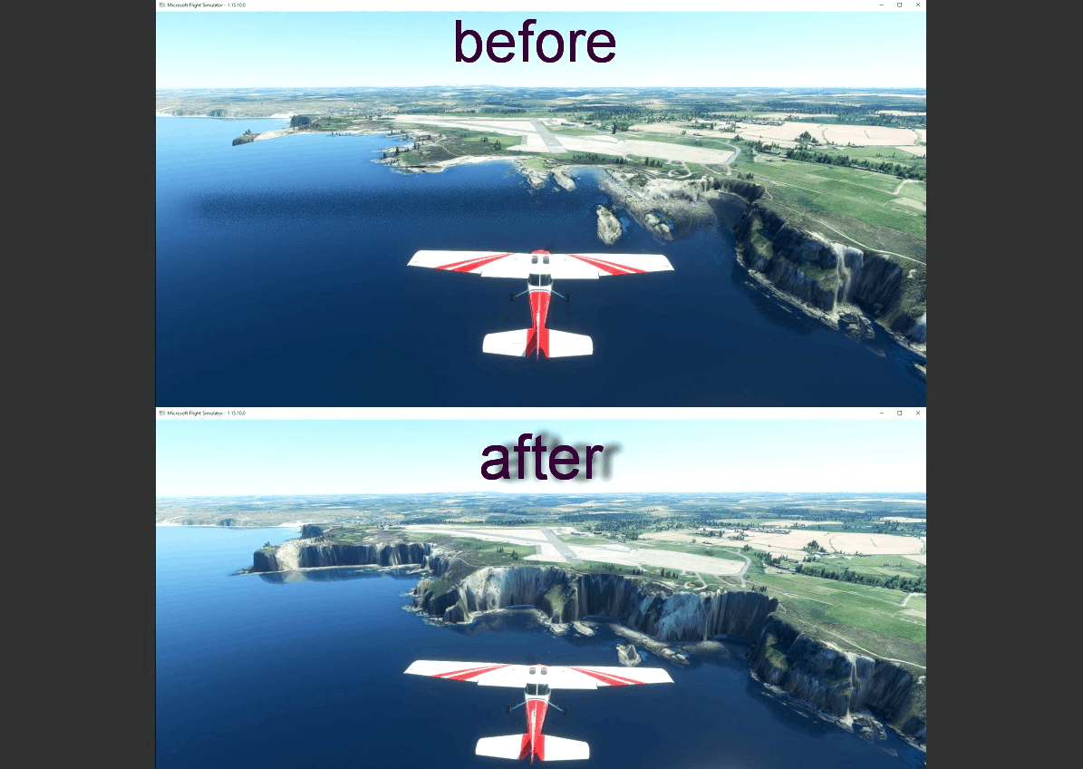
this region have steep cliffs and will make approaches really stunning
v1.0
1..complete rework of the cliffs to make them more realistic (default ones were hummmmm let’s say not that good)
2..terraforming of the area
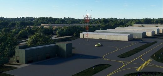
3..add some building and windsock and various objects (like cars…)
GPS Coordinates: 50.330314, -5.177712

