Minot’s Lighthouse (Scituate, MA) v1.1
IMPORTANT UPDATE!
OK – 3rd time’s the charm. This should be all set now – *fingers crossed*
When I zipped the folder, I accidentally zipped a test folder and the light was not in the correct place. I have corrected that with v1.1, but if you downloaded 1.0 you will NOT find the lighthouse. Please re-download and thank you (merci!) to dedebis for pointing this out!
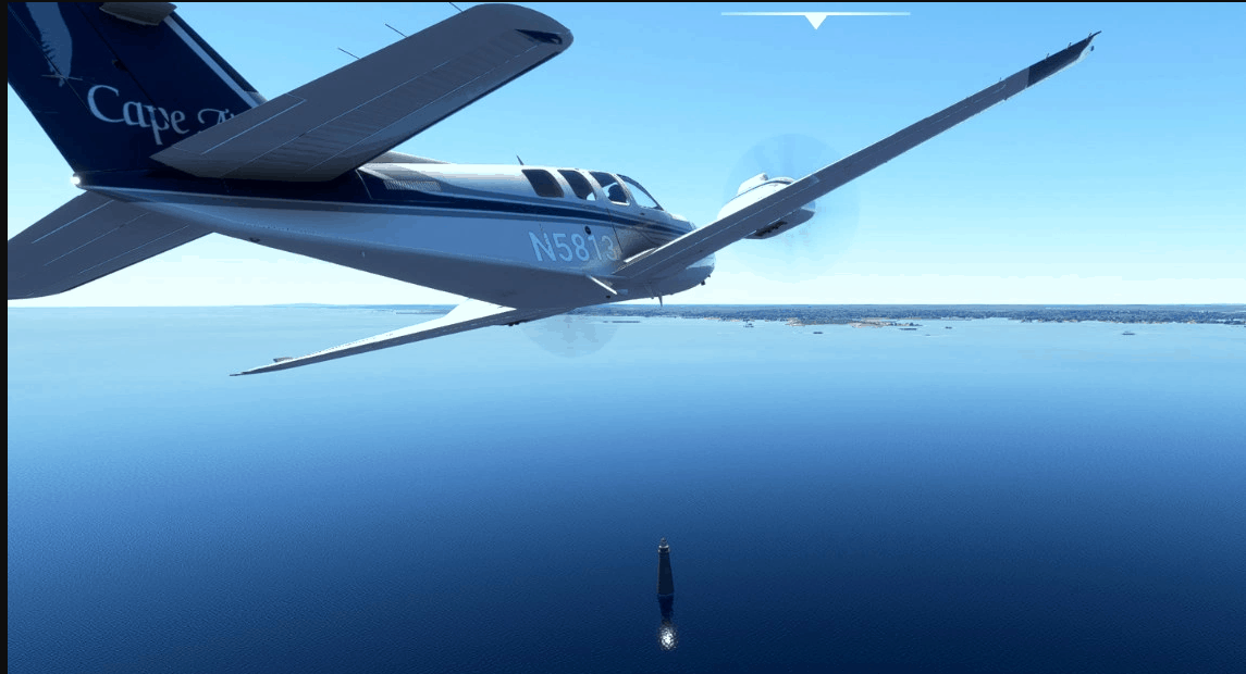
Minot’s Lighthouse is used by Cape Air as a visual reference and starting point for several of their coded VFR routes into Boston. This model does flash (Though not in the actual cadence of the lighthouse, I admit). The lighthouse is directly below the MYNOT waypoint south of Boston.
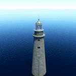
A word of warning – this project was a bit of an exercise and the model is realistically sized at about 100 ft tall. This does make it hard to see in the simulator when crossing at the aforementioned route altitudes. But I figured I might as well share it since I made it for myself.
GPS Coordinates: 42.26973, -70.75911

