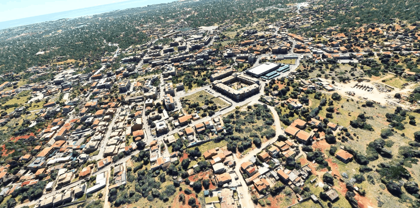
Almancil Algarve Portugal v1.0
First referred to as Almansil, Almancil had an Arabic origin; it was likely Almançal, which means “inn” or another variant suggesting a watercourse (Almansil). The territory that is today Almancil remotes to the Paleolithic, with archaeological excavations unearthing vestages from remote settlements. The more important artifacts come from the Roman occupation from São João da Venda, Ludo and Quinta do Lago, with the latter occupied by Islamic forces.
In the 16th century, Alexandre Massai (who served the Portuguese Crown) realized excavations along the coastal fortifications in the Algarve, discovering the plans for the fort of Farrobilhas, the old fortification that dominated Almancil (but today lost due to the coastal advance). Visits by the members of the Order of Santiago, in the middle of the 17th century, mentioned the existence of the hermitage of Nossa Senhora de Farrobilhas (also destroyed since this period).
In the 18th century, the reconstruction of the hermitage of São Lourenço, then in ruins, in fulfillment of a promise made to the saint by the population, brought new impetus to the communal religious life. The temple, which was barely touched by the 1755 earthquake, became one of the most important in the region after its restoration: celebrations occur annually on 10 August, in honour of Saint Lawrence.
Almancil has been a civil parish since 1836; following expansion and development in the 19th century, the parish of São João da Venda was divided between the municipalities of Faro and Loulé. In the west, the civil parish of São João Batista de Almancil and portion of the neighbouring territory of São Clemente was integrated into the new Almancil.
Due to an influx of tourism into the Algarve, the resident population of the parish expanded, resulting in the 18 December 1987 elevation of the parish to category of town.
Google Earth Decoder tool (credits to Jonahex111)
Google Earth Decoder optimization tools (credits Thalixte)(Thanks my Friend))
For best results, I recommend using the MSFS 2020 Google Map replacement, it’s not mandatory, but the colors are more natural and you don’t see the scene division with the rest of the landscape.
Installation: Unzip into community folder
GPS Coordinates: 37° 5′ 9.6″ N, 8° 1′ 55.2″ W

