SGGT Godthul “Good Hollow” Station, South Georgia, Southern Atlantic Ocean. v1.0
New Helipad Scenery for SGGT Godthul “Good Hollow” Station, South Georgia, Southern Atlantic Ocean.
“SGGT Godthul Whaling Station” msfs map identification.
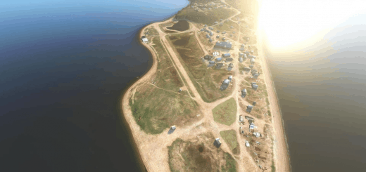
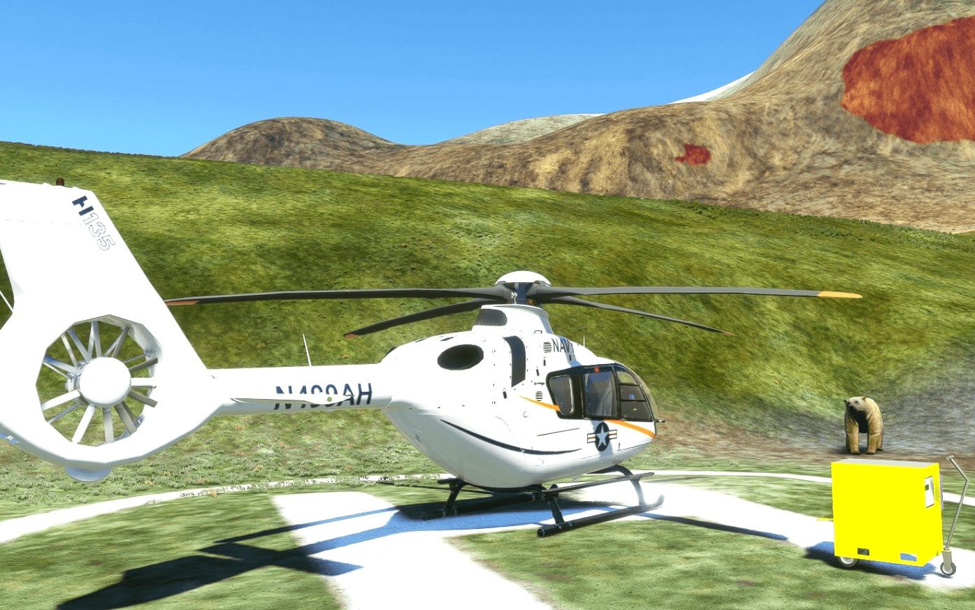
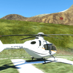
This is very basic scenery, with a fictitious Helipad at Godthul on South Georgia.
Its a base on the map at least, so gives ability to more easily explore the area.
Check the weather! Summertime is best!
Very little left of this station, a few remains of old wooden boats but plenty of seals & King Penguins!
Plus the odd sailing yacht and a few exploring research vessels/tourists.
Based on misc information & images. All original msfs models etc used.
Seven Stations all based on the north coast from West to East are –
1) Prince Olav Harbour
2) Leith Harbour
3) Stromness
4) Husvik
5) Grytviken
6) Godthul
7) Ocean Harbour
Godthul is a bay entered between Cape George and Long Point, on the east side of Barff Peninsula on the north coast of South Georgia Island.
It sits between Rookery Bay to the north and Johannsen Loch to the south. Szielasko Ice Cap sits on the south edge of the harbor.
The name Godthul (Norwegian for “Good Hollow”) dates back to the period 1905–12, and was probably applied by Norwegian sealers and whalers working in the area.
Godthul was used as a whaling station between 1908 and 1929. It had basic infrastructure supported by factory ships, but no land station
Installation – After unzipping, place the complete “sac-airport-sggt-godthul-whaling-station” folder
into your MSFS community folder.
Thats it, Have fun.Any suggestions/errors for the scenery please ask or comment. See link below to SGGB Grytviken scenery.
sggb-grytviken-whaling-station-south-georgia-southern-atlantic-ocean
Thankyou to all who enjoy these free downloads, its fun making them & hopefully the quality
will improve with experience.
If you like them please comment & give a star rating.
Thirsty work!
If you feel you would like to buy me a coffee, use the “PayPal me” button below.
Many Thanks.
GPS Coordinates: -54.299956, -36.286585



![[REALISTIC] Edinburgh (EGPH) GSX Pro Profile v1.0](https://www.allflightmods.com/wp-content/uploads/2022/10/REALISTIC-Edinburgh-EGPH-GSX-Pro-Profile-v1-3-520x245.jpg)
