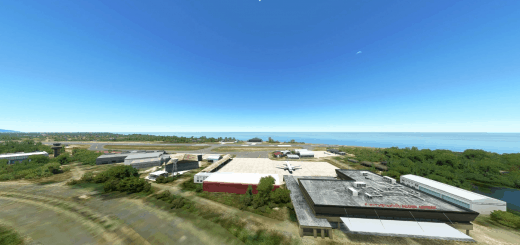
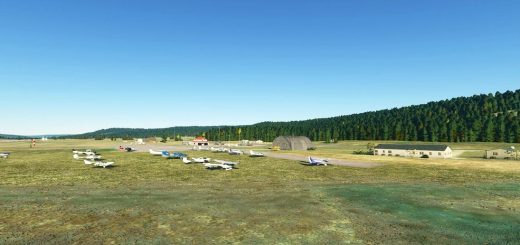
Rochester International Airport MN (KRST) v1.0
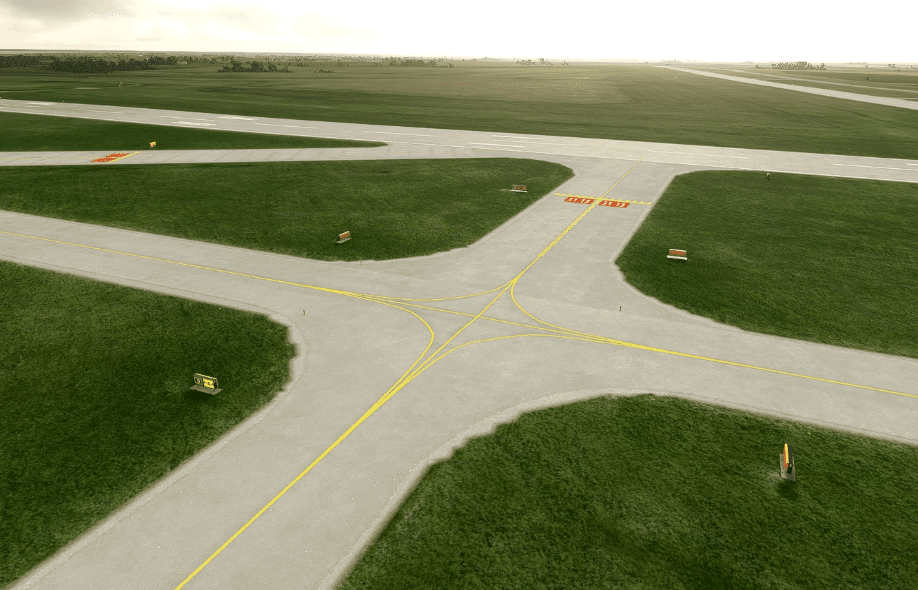
This is a modified version of the Stock Airport, which includes the correct taxiway names, and taxiways signs in the precise positions they will be found at the real airport. Windsocks have also been replaced with new ones positions as per Google Earth images dated 3/31/21. The aprons have had up to date markings painted on, with parkings spaces in exactly the right positions, where this information can be ascertained. Enhanced taxiway lines have been added, with some experimentation around the D intersection on runway 13-31 aimed at making the lines look more realistic. A work in progress.
Parking spots used for Fedex Cargo have been configured as such, but ASOBO don’t appear to be taking any notice of that.
VASI have been updated to current specifications as have the MALSR approach lighting for 13-31.
GPS Coordinates: 43.9082778,-92.5000278

