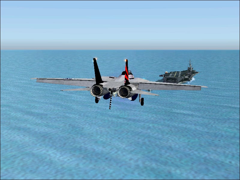
FS2004 USS Carrier Independence
FS2004 USS Carrier Independence. The USS Independence is making it’s Port- of-Call” in of coast of LAX. N33* 30.00′ / W108* 00.00′. Added MEATBALL VASI: TCRV. Complete CL-II ILS/NAV system. Included is the “Carrier Zone” data for the “Cat’s” and the “Trap”. Planner Airport ID: “INDY”. Use MAP for Nav. Info. Flight plan capable using ILS, VFR, & GPS. 100% functional COMM’s. ArresterCables.dat file for FS9 included. Presented by Steve Hinson. 3.5MB USS Independance Zone Map Fix. Old Cat / Arrester Zone MAP: DELETE from folder, do not use! There are two spots where the GPS location is off target due to my keypad numeric typo. This map from this download is the one to use. Do not change anything else UNLESS the OLD MAP WAS USED. REPLACE IT FROM APPLICATION USED. REDO THE NUMBERS of that apy. 2K FS2004 USS Independence Update 2: Carrier ID TAG for Island Tower: The REAL ID #62


