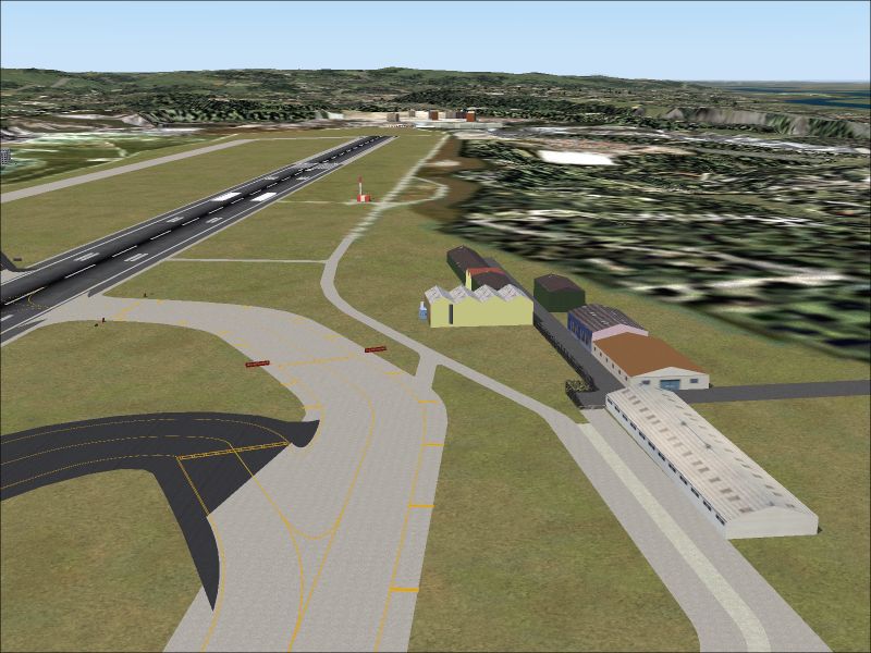
FS2004 Project Lisbon Photoreal v4.1
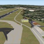
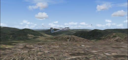
FS2004 Project Lisbon Photoreal v4.1 This version includes improvements on photoreal BITMAP for terrain, buildings, bridges, airport ground and navaids. As in previous versions, the scenery is based on accurate and updated data from real charts, GPS maps, real measures and Google Earth. By Pedro Oliveira. 49.1MB

