FS2002 Glacier Bay N.P. Mesh and Landclass
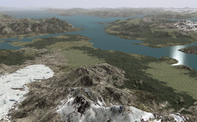
FS2002 Glacier Bay N.P. Mesh and Landclass Unfortunately, the special features of the FS2004 Glacier Bay project don’t work in FS2002. However, the add-on LOD9 (76-m) mesh and landclass files (made from USGS NED elevation and Landsat 7 satellite data) can be used and are included here. They cover about 41,000 sq km of the Glacier Bay N.P. and Juneau to Haines area in SE Alaska (N58-60 W134-138). By Holger Sandmann. 9MB

