Part 1 of 4
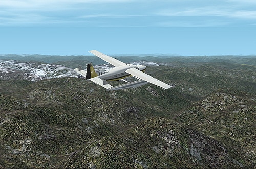
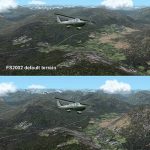
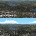
New 300-m (LOD7) Terrain Mesh of British Columbia and Southeast Alaska. Mid-resolution (300-m) terrain mesh for the entire province of British Columbia (950,000 square km) and the Alaska panhandle southeast of N60 W139. Made from 250m-resolution source data without oversampling. Easy on frame rates and hard drive space. It transforms the rounded mountains of the default terrain mesh into a much more realistic representation of the diverse topography of this beautiful corner of the world. Experience the spectacular scenery between Vancouver and Atlin, Juneau and Fort St. John, and Mount Robson to Clayoquot Sound. Fourteen independent mesh tiles allow you to select the region(s) you like best. Several high-resolution add-on meshes will be uploaded separately. By Holger Sandmann. Part 1 of 4: All areas north of 57 degrees. 6.3MB Part 2 of 4: All areas between 54 and 57 degrees North. 6MB Part 3 of 4: All areas between 51 and 54 degrees North. 5.9MB Part 4 of 4: All areas between 48 and 51 degrees North. 6.5MB

