Path of Memory
Witnessing the atrocities of the Great War, this walk through memory creates links to landmarks on the horizon. Piercing the sky with their verticality and positioned on ridges, the hills of Lorette and Vimy, located respectively at 190 and 145 meters above sea level, call the walkers towards them. If one analyzes the reliefs of the Artois, one distinguishes a third hill, neglected, but presenting a living symbol of the vestiges of the history of the region, the canon abbey of Mont-Saint-Éloi. This building was not built after the war to commemorate the bravery of the soldiers who died on the Front for their homeland, but was indeed present during the bombings. The abbey, as mentioned above, was used by the French and British armies to observe the advance of the German troops. Walking around the site, one can see from each monument, the two others that respond to it by their height.
In this way, all the witnesses making possible the commemoration of one of the worst moments of Humanity would be linked at every point to create a single Remembrance Road.
To do so, the route would be lengthened to reconnect Mont-Saint-Éloi. Thus, the abbey would be requalified in the same way as the Canadian Vimy Memorial and the Necropolis of Notre-Dame de Lorette. In addition, the village of Neuville-Saint-Vaast would be added to the route. Indeed, during our twenty-kilometre walk, we realized that we sometimes “forgot” where we were. We crossed vast expanses of fields without seeing anything, with the sole purpose of reaching another point on the path of memory -Guillaume Lessenne
GPS:
VIMY RIDGE
50.379466, 2.773683
LORETTE
50.401115, 2.718990
MONT-SAINT-ELOI
50.349706, 2.692789

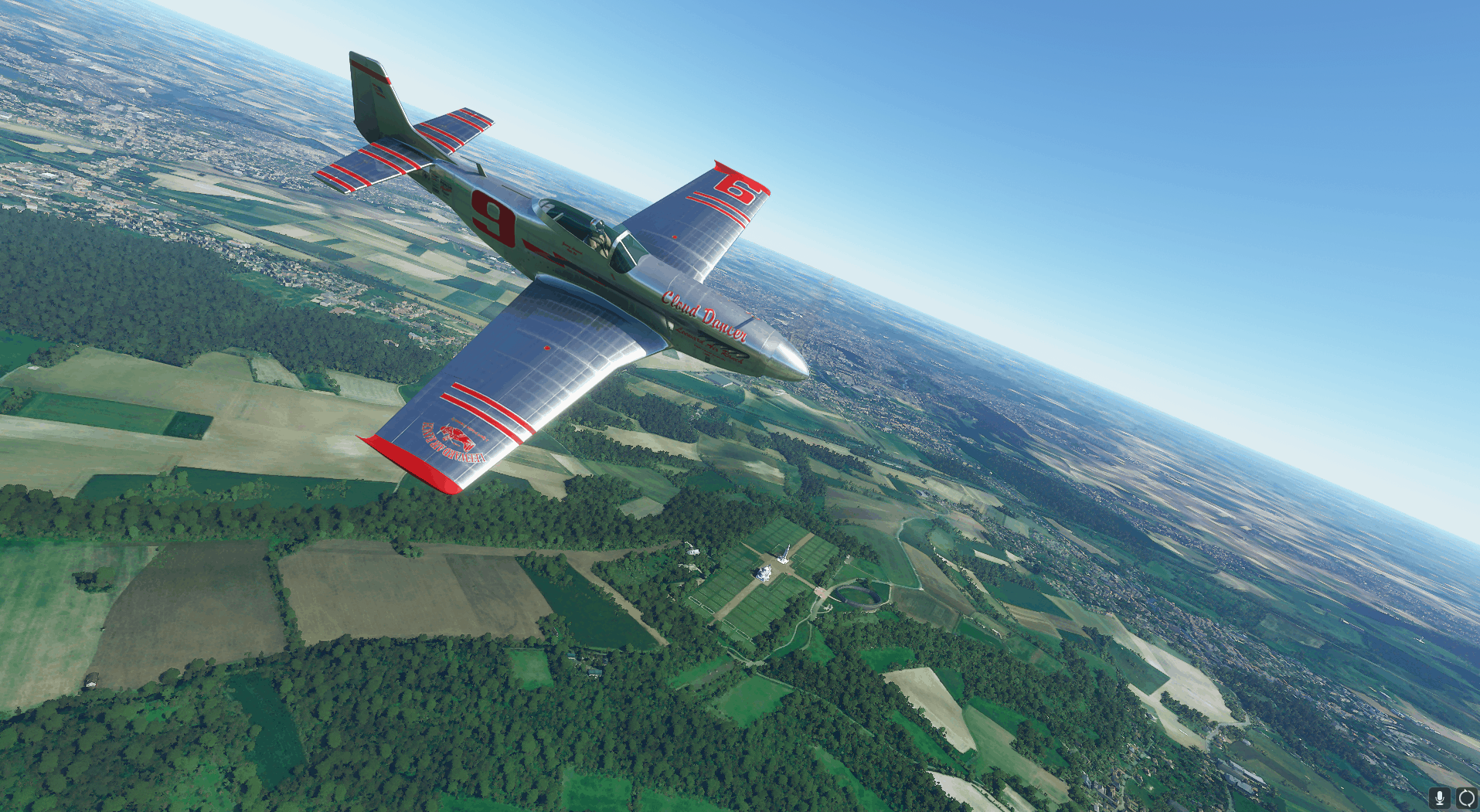



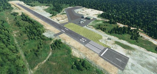



doesn’t work for me ???
Only vimyridge alone (from another pack) is ok.