Italy – Sassolungo v1.0.1
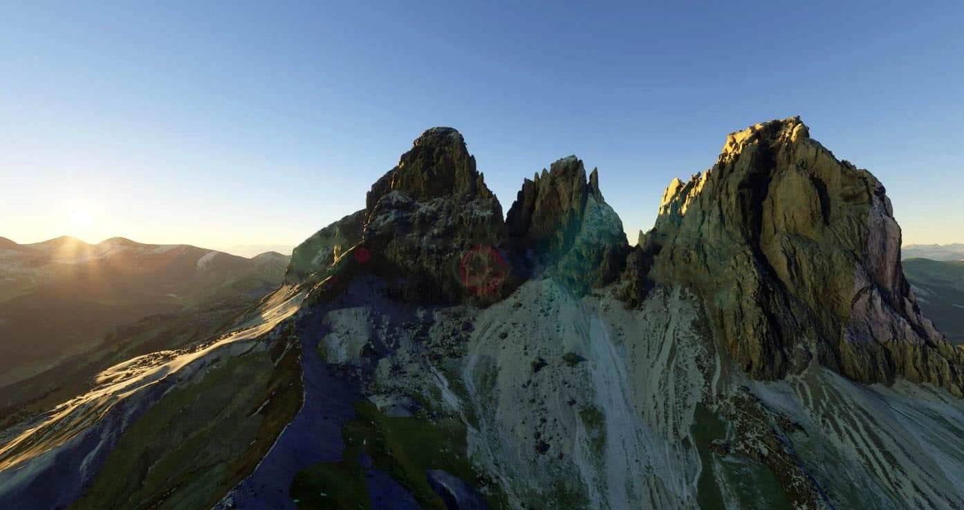
The Langkofel Group (Ladin: Saslonch, Italian: Gruppo del Sassolungo) is a massif in the (western) Dolomites. It separates Gröden (to the north) and the Fassa valley (to the south), as well as the Sella massif (to the east) and the Rosengarten (to the west). Northwest of the Langkofel is the Seiser Alm. The highest point in the range is the eponymous Langkofel with a height of 3,181 metres. Taken together, the summits of the Langkofel form an arc which is only open towards the northwest. Within this arc there is only one small mountain, the Langkofelkarspitze, so that the group surrounds a kind of “inner courtyard”.
Nearest airport: Bolzano-Bozen [LIPB] (17 nm west)
Otherwise you could download the great Locher Sarentino Airfield [LOCH] by Alex (15 nm northwest).
How to Install: Drag and drop the folder from the .zip , in your “Community” folder. That’s it, enjoy!
How to find the mountain: Copy and paste the following coordinates in the “search airport” bar in Flight Simulator: 46.517110, 11.727768


