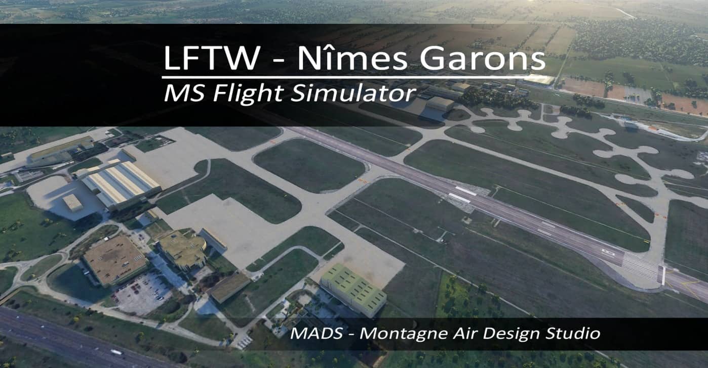
LFTW – Nîmes Garons, France v2.0
Hello,
Download the zip (aerial and airport package) and unzip them within your MS Flight Simulator Community folder.
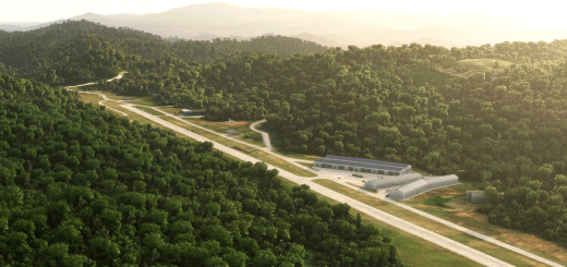
– “Aerial’ package is the satellite ground picture
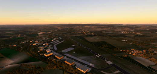
– “Airport” package is the airport structure
This package includes:
– ATC and ILS when available as published on the French SIA website.
– PAPIs as published (position and pitch)
– Approach, Runway, taxilight Lights as published
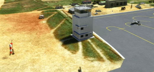
– Taxi signs are accurate
– An aerial which is the sattelite view of the ground (v2.0 and higher)
notes :
– This package is Navigraph compatible, no runway duplication, SID and STAR from navigraph available
– since MSFS 1.10.11.0 update, multiple aerials can be deployed in the same CGL area
– please do not forget to remove any old installation of the same airport in your “Community” folder
Enjoy ! If you like the job don’t hesitate to put some comments
All copyrights reserved.
GPS Coordinates: 43.758835, 4.416186






Comment faites-vous c’est aérodrome le travail est vraiment qualitatif