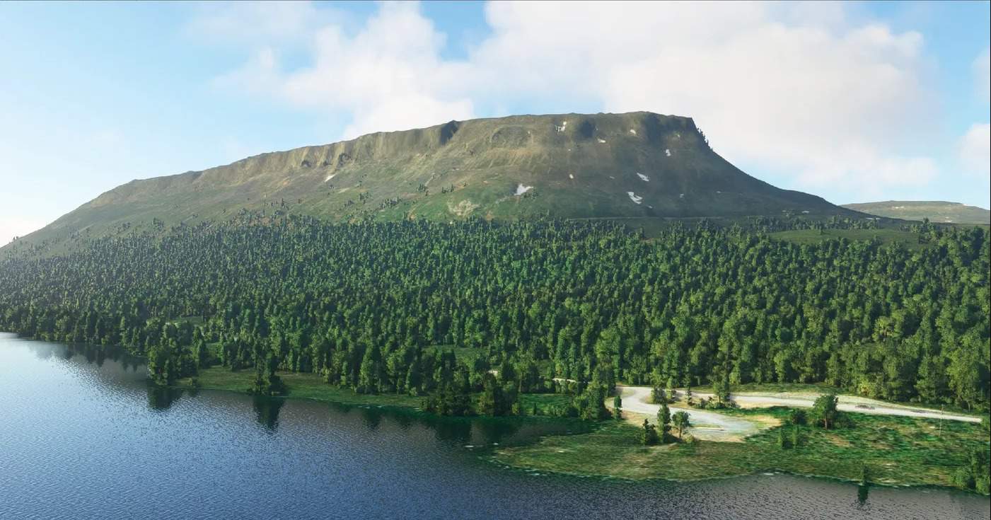
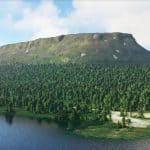
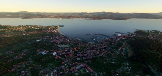
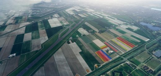
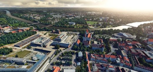
DEM for Finland – 20 meter resolution v1.0
Alternative DEM for Finland – 20 Meter resolution
Install by extracting to Community folder as usual
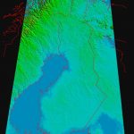
Coverage map can be found in coverage.png
Documentation and basic implementation to create native DEMs will be made available at github.com/muumimorko/MSFS2020_CGLTools
Release notes:
v1.0 first public release
Recommended mods:
https://www.allflightmods.com/microsoft-flight-simulator-2020/msfs2020-scenery/finland-lake-fix-v1-0/
Known issues:
Edges of covered areas don’t blend to the original in-game/bing DEM, errors +- few meters
Peak elevations might have small “spikes”
Sub-optimal file size
Some islands still have no elevation above water level
Credits:
DEM2 and DEM10 by the National Land Survey of Finland
Produced using Copernicus data and information funded by the European Union – EU-DEM layers.
AW3D30 Provided by Earth Observation Research Center (Japan Aerospace Exploration Agency)
GPS Coordinates: 63.219011, 26.602363

