Africa Equator Bush Trip v1.0
Unzip the zipped folder into MsFS community folder and launch MsFS.
The bush trip ought be offered.
Notes:
I completed creation of it some hours ago and tested the first leg. I already share it here for your possible enjoyment.
The aircraft is placed at the other end of the runway in Leon M’Ba. Turn, take off and turn.
Distance and Time data on the “Next Leg” screen is to the first waypoint of that next leg.
Leon M’Ba to Kismaayo
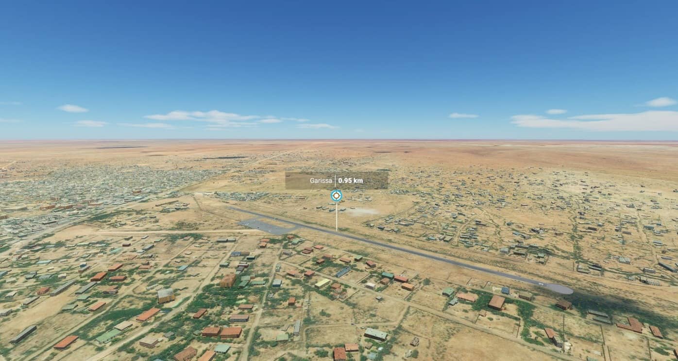
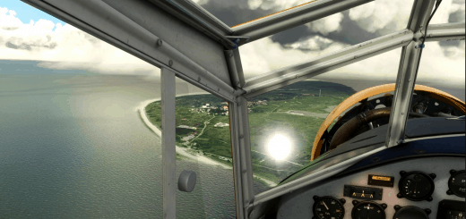
Cessna 208B Grand Caravan EX
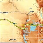
A bush trip from FOOL to HCMK slightly above and slightly below the equator across Africa from west to east.
Weather profile is Live Weather (and Live Time).
Because I didn’t see the leg intro texts displayed in MsFS, here they are:
leg 1:
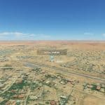
The first leg, -3 km from average core leg distance. It ends with a challenge: the airfield where you stop is one of only three grass runways along this bush trip and it has the second smallest length of all runways along this trip, just above the minimal length the aircraft you are flying requires to land on average.
Take off south south-east.
leg 2:
The second leg, -68 km from average core leg distance.
Take off south-east, prepare immediate turn east
leg 3:
The third leg, +17 km from average core leg distance.
Take off south-east.
leg 4:
The fourth leg, +48 km from average core leg distance. You will encounter the Congo river the first time along this bush trip.
Take off north-east.
leg 5:
The two legs having the two longest distances along this bush trip by a margin follow.
The fifth leg, +170 km from average core leg distance.
Take off north.
leg 6:
The sixth leg, +169 km from average core leg distance.
Take off east.
leg 7:
The seventh leg, +36 km from average core leg distance. You cross the half-way distance of this bush trip on the way to this legs first waypoint during which also you see the Congo river the last time along this trip and you cross the equator for the third time. Around a quarter of the distance between the first and second waypoint after the first waypoint you also cross the half-way longitudinal distance of this bush trip. You are about to enter the mountaineous region of this trip. At the end of this leg you land on the second grass runway along this bush trip, that runway has the shortest length of all runways along this trip.
Take off south south-east.
leg 8:
The two legs having the two shortest distances along this bush trip by a margin follow.
The eigth leg, -127 km from average core leg distance. You navigate a few tight turns in a valley after around one third of the distance of this leg before you fly its remaining distance almost only straight, crossing a ground level of above 8000 ft for the first time along this bush trip.
Turn your plane around, you take off in the direction you landed from.
Take off north.
leg 9:
The ninth leg, -112 km from average core leg distance.
Take off north preparing to turn north north-west.
leg 10:
The tenth leg, -8 km from average core leg distance.
Take off east north-east.
leg 11:
The eleventh leg, -14 km from average core leg distance.
Take off south.
leg 12:
The twelvth leg, +22 km from average core leg distance. You need to climb around 1500 ft over around 5 km along which the surroundings are close, towards the end of around the first quarter of the distance of this leg, after you have already climbed around 2900 ft over around 40 km just before.
Take off east north-east.
leg 13:
The thirteenth leg of fourteen legs of this bush trip, -30 km from average core leg distance. The mountaineous region of this bush trip is behind you after this leg.
Take off south-east.
leg 14:
The last, fourteenth, leg, +4 km from average core leg distance.
Take off south.

