North Sea, Norwegian Ocean and Irish Sea oil/gas offshore installations. v2.0
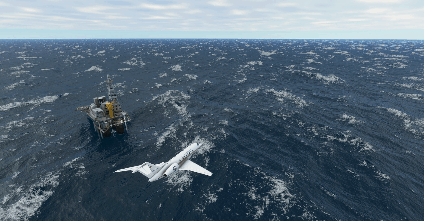
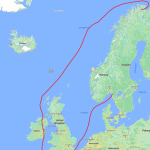
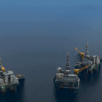
Placement of oilrigs in the North Sea/Norwegian Ocean/Irish Sea. Version 2.0 pinpoints about 440 rigs, FPOS and loading bouys in the Norwegian Ocean, the North Sea and the west coast of United Kingdom. I do not have accurate 3D models of the platforms, so the default MS Flightsim oilrig and oil tanker is used in all the locations. FPOS are made by merging the default platform and the default tanker. I have also added some oil tankers in the location of some of the loading buoys. The placement should be pretty accurate – source of positions are pulled from the Norwegian map autority’s (Kartverket) electronic nautical charts (Norgeskart nautical charts) and from a KML file found on the internet…. I’m pretty certain that all of the installations are covered – if you miss some, please let me know. There have been a lot of decommissioning and removal/clean up in the last years. I’ve tried to place only the installations still out there, but the cleanup is ongoing, so there will be some errors. Please let me know if you find some…..
Installation:
Just drop in your community folder.
Requirement:
The free World update USA have to be installed – I think the MS Flightsim oilrig and tanker is a part of this package.
Ver 2.0
– All British offshore oil/gas covered
Ver 1.0
– All Norwegian oil platforms/rigs in correct positions
– Some oil tankers in positions of loading buoys
Issuses:
Im not shure its possible to land on the helipads……
GPS Coordinates: 56.5470630774699,3.21747690529211

