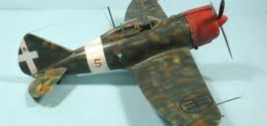
CFS Scenery “Italian Dodecaneso”
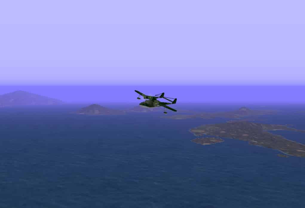
This CFS scenery shows the Elevated Mesh Terrain of Italian Dodecaneso with them main islands with real and ficcional airfields. This scenery is a complement of Greece Scenery for CFS, created by the Mushy Peas Group on 2000. The three italian airfields of Rodi, (Maritsa, Gadurra and Cattavia), and Scarpanto airfield, are historically accurate, but the airfields of the rest of the islands are totally fictional. Shows the current airfields in ficcional WWII style. Special thanks to Corrado Sandri, GREAT CFS MISSIONS CREATOR, by the lot of provided information (since 2003) for the development of this virtual CFS scenery.

