FS2000 Mariscal Sucre Intl Airport – QUITO, ECUADOR
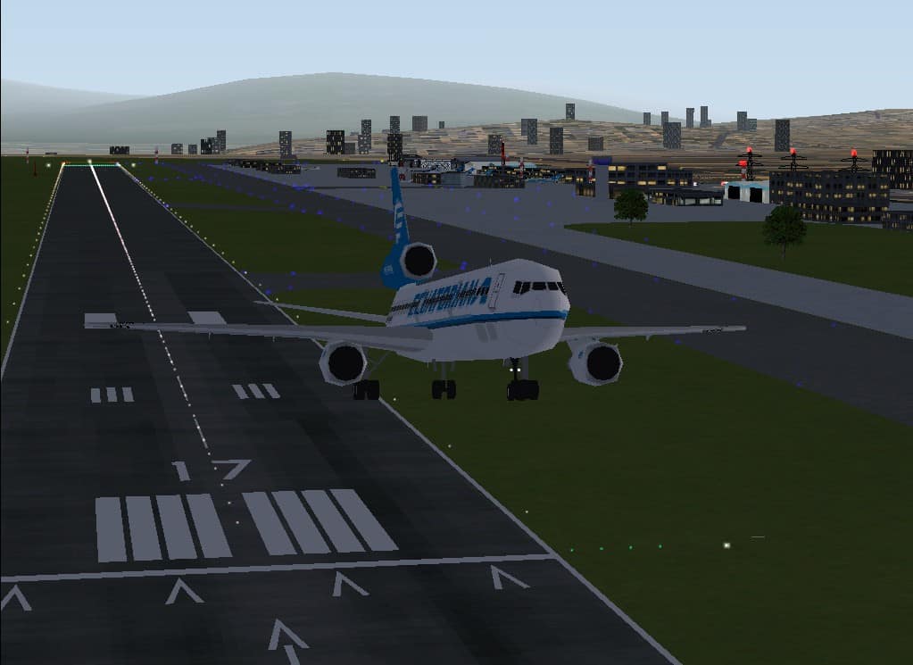
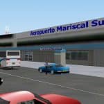
FS2000 Mariscal Sucre Intl Airport – QUITO, ECUADOR In this scenery the Mariscal Sucre Intl Airport was accomplished to the FS2000 original modifying the surfaces and the taxiways like the real airport map so we’ll have a more realistic scenery. Including dynamic and static objects of the best Ecuadorian airlines (Saeta, Ecuatoriana, Tame) and from other countries too located in front of the airport buildings and hangars. Real landing and take off Flight Cards including. (By Giancarlo Giuliano). The Quito City’s urban zone is represented by a lot of 3D objects like buildings, stadiums, coliseums, parks, avenues, churches, etc., located like real geography according to Quito’s official maps authorized for Instituto Geográfico Militar. See screenshots. By Pablo Garzón Gavilanes. 2.7MB

