PUERTO RICO TERRAIN MESH (30 METER RESOLUTION)
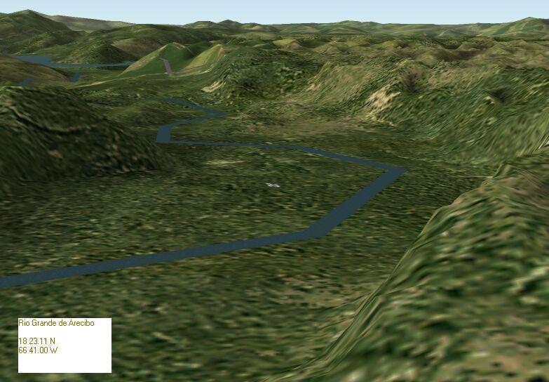
PUERTO RICO TERRAIN MESH (30 METER RESOLUTION) Puerto Rico has a wide variety of terrain. Spanning 3,500 square miles (9000 sq km), the island has a diverse topography that is hard to match in the Caribbean. This terrain mesh is based on USGS 7.5 Minute DEM files with elevation points sampled at 30 meters horizontally. The files are merged seamlessly, offering countless opportunities for great screen shots. By Orlando Sotomayor. 3.7MB


