U.S. Nav Aids
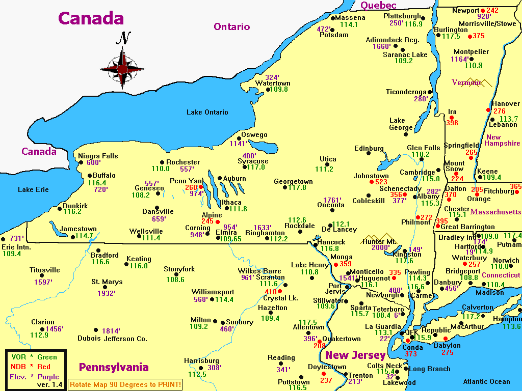
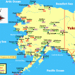
U.S. Nav Aids now includes Alaska, New York, Northern Pennsylvania, Northern New Jersey, Connecticut,Massachusetts, Rhode Island, Vermont, Illinois, Florida and Georgia. U.S. Nav Aids was created with Paint Shop Pro. Some of the maps require you Rotate the map 90 degrees to print the full size map. The Cities on the map are Navigation Points, but most of them have airports as well. All maps display VORS, NDBS and Elevations. All maps are the latest versions with additional Nav Aids or corrections. U.S. Nav Aids is Freeware. Created by Bob Baker. Revised 11/4/00. 248K

