76-m Mesh of B.C.’s Lillooet-Thompson Region 30,000 square km of southwestern British Columbia
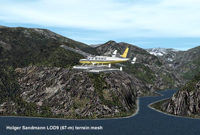
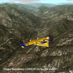
76-m Mesh of B.C.’s Lillooet-Thompson Region 30,000 square km of southwestern British Columbia (N50-51, W120-124) in vivid detail. One of the most spectacular regions of the province: Visit the Fraser and Stein River canyons, Princess Louisa Inlet, and the lakes in the Pemberton area. Made from 50-m digital elevation data, resampled to LOD9 (76-m). Use as add-on to my LOD7 (306-m) mesh or independently. By Holger Sandmann. 5.4MB

