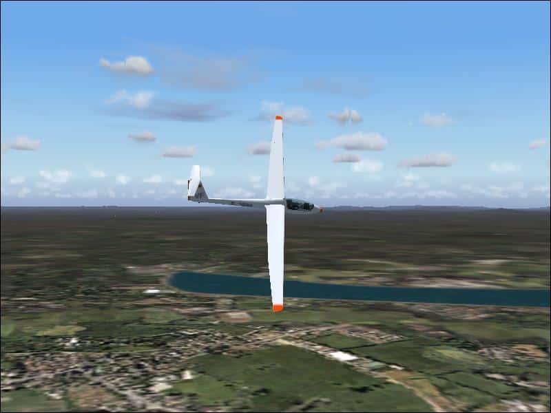
FS2002/2004 Queensland Coast,Australia Soaring Scenery
FS2002/2004 Queensland Coast,Australia Soaring Scenery These files adds some thermals to default Microsoft whole,Queensland Region,Australia Airport Scenery ,.over below airports: 1.Maroochydore City – Maroochydore-Sunshine Coast Airp.(ICAO – YBMC); 2.Gympie City – Gympir Airp.(ICAO – YGYW); 3.Maryborough City – Maryborough Airp.(ICAO – YMYB); 4.Bundaberg City – Bundaberg Airp.(ICAO – YBUD); 5.Monto City – Monto Airp.(ICAO – YMTO); 6.Thangool City – Thangool Airp.(ICAO – YTNG); 7.Gladstone City – Gladstone Airp.(ICAO – YGLA); 8.Rockhampton City – Rockhampton Airp(ICAO – YBRK); 9.Williamson City – Williamson Airp.(ICAO – YWIS) 10.Mackay City – Mackay Airp(ICAO – YBMK); 11.Moranbah City – Moranbah Airp(ICAO – YMRB); 12.Proserpine City – Whitsunday Coasy Airp(ICAO – YBPN); 13.Bowen City – Bowen Airp(ICAO – YBRK); 14.Ayr City – Ayr Airp.(ICAO – YAYR); 15.Ingham City – Ingham Airp.(ICAO – YIGM); 16.Lavarack City – Lavarack Airp.(ICAO – YLVK); 17.Innisfal City – Innisfal Airp.(ICAO – YIFL); 18.Mareeba City – Mareeba Airp.(ICAO – YMBA); 19.Cooktown City – Cooktown Airp.(ICAO – YCKN); 20.Chillagoe City – Chillagoe Airp.(ICAO – YCGO); 21.Intermediate Point 1: Coordinates S 16* 9.93′ – E 144* 40.41″ Elevation 1638.3 ft; 22.Intermediate Point 2: Coordinates S 14* 57.12′ – E 144* 13.90″ Elevation 67.0 ft; 23.Intermediate Point 3: Coordinates S 14* 41.19′ – E 143* 34.90″ Elevation 60.0 ft; 24.Coen City – Coeb Airp.(ICAO – YCOE); 25.Lockhart River City – Lockhart River Airp.(ICAO – YLHR); 26.Weipa City – Weipa Airp.(ICAO – YBWP); 27.Bamata City – Inginoo Airp.(ICAO – YBAM); By Francisco Vargas. 93K


