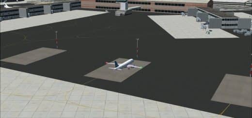
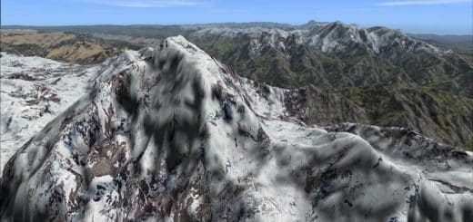
FS2004 Algiers Scenery Package
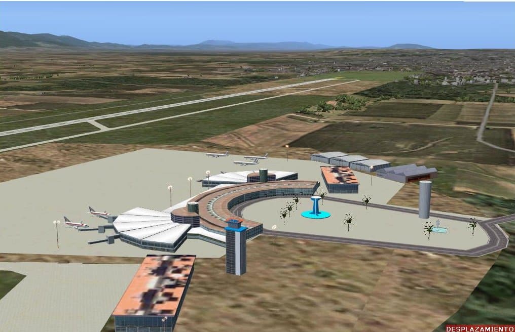
FS2004 Algiers Scenery Package. The designed territory is understood between the 35 54 N and 20 43 N and 001 46 W and 008 25 AND in its north area. In the south part where the big deserts and ergs are it shows from Tindouf in the frontier with Morocco (008 55 W) until Illissi frontier with Tunisia (008 55 AND). Its total width in the north is of 940 kilometers. In the South 1670 kilometers Its north depth to south is of 1816 kilometers. It culminates in the south in Tamanrasset and their dominant mountainous system in the area.They can be carried out north trips to south until Tamanrasset guided by the corresponding radionavs or of Bechar until Ouarzazate and to continue toward the islands Canaries. Author Toni Agramont. 41.5MB Patch: This pach solves some anomalies detected in some airports of the scenario . 17MB

