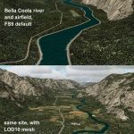
FS2004 Bella Coola Valley Terrain Mesh and Scenery Enhancements
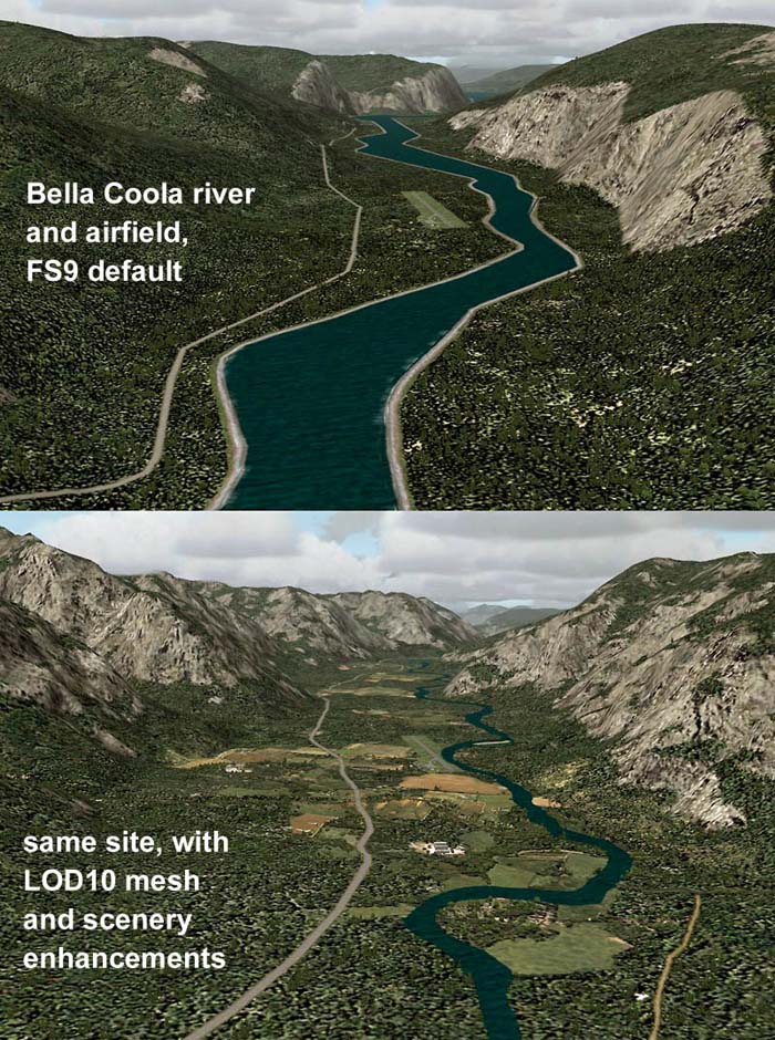
FS2004 Bella Coola Valley Terrain Mesh and Scenery Enhancements One of the most spectacular watersheds of British Columbia’s Midcoast, the Bella Coola Valley looks pretty boring in its default FS rendition. These files provide a LOD10 (38-m) mesh made from CDED1 0.75-arcsec data, a new landclass file, and accurate placements of lakes, rivers, streams, and roads. Also includes the glaciers of the Monarch Mt. Icefield and several forestry roads and clearcuts along the side valleys. Made with Ground2K4 based on Landsat 7 ETM+ satellite imagery. Holger Sandmann. 21MB

