FS2004 Columbia River Gorge and Cascade Volcanoes, USA
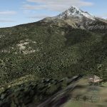
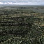
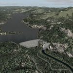
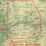
FS2004 Columbia River Gorge and Cascade Volcanoes, USA. This package completely replaces approx. 5,000 sq mi of the default landscape of the Columbia River Gorge and adjacent areas of Washington and Oregon. Three volcanic peaks – Mount St. Helens, Mount Adams, and Mount Hood – as well as old lava beds, deep river valleys, many small lakes, and the majestic Columbia River offer great opportunities for scenic and challenging flights. Accurate placement of rivers, lakes, streams, roads, railroads, hydro dams, and power lines, as well as land use textures (land class), water colors (water class) and a high-res terrain mesh. Also added are the massive volcanic blast area of Mount St. Helens and the ski areas at Mt. Hood. Made primarily with Christian Fumey’s “Ground2K4”, using 1:24,000 DRG digital topographic maps and Landsat 7 satellite imagery. Fully compatible with existing add-on meshes of the western US. Custom AI traffic will be available as a separate file. Holger Sandmann. Filename: 19.7MB cr_gorge.zip See update here


