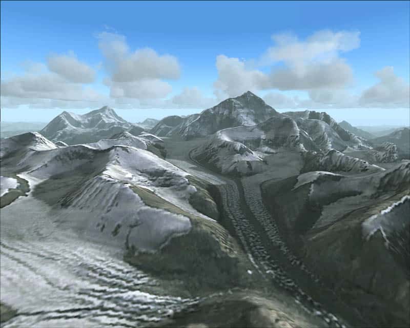
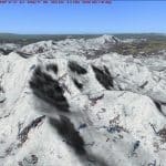
FS2004 Himalayan Peaks LOD10 Mesh – MtEverest
FS2004 Himalayan Peaks LOD10 Mesh – MtEverest Highly detailed mesh based on Shuttle Radar (SRTM) data but with many of the void areas filled with elevation models generated from topographic maps by Jonathan de Ferranti. The “Himalayan Peaks” series contains LOD10 terrain mesh of prominent peaks and ridges. There will also be a LOD9 “base mesh” series of the Himalayas. Compiled for FS by Holger Sandmann. Fully compatible with FS2002. 53MB

