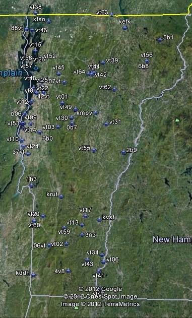
FSX Vermont Airfield Locator
Tested on Windows XP and Windows 7. This download adds airfield markers and ICAO id’s found in FSX, and overlays them on Google Earth. This file is for Vermont.USA. There is also a seperate file with a list of basic airfield location details. i.e: EGBB Birmingham Airport. Birmingham. N52* 27.23′ W1* 44.88′ alt325. Also the tidying “My places” in Google Earth, file. Other locator files to follow. by Carl Vokes


