Honfleur Landmarks, France v1.0
Location – Honfleur, France
GPS – 49.427120, 0.232056
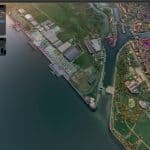
Here is my very first try. I hope you’ll enjoy it. Motivated by Cpt Ivanov’s nice work on the Tancarville bridge and the Normandy bridge, I like flying over the Rouen creek and wanted to add new elements in this area. Honfleur is located in the Rouen creek in France (near to the Normandy bridge).
Buildings
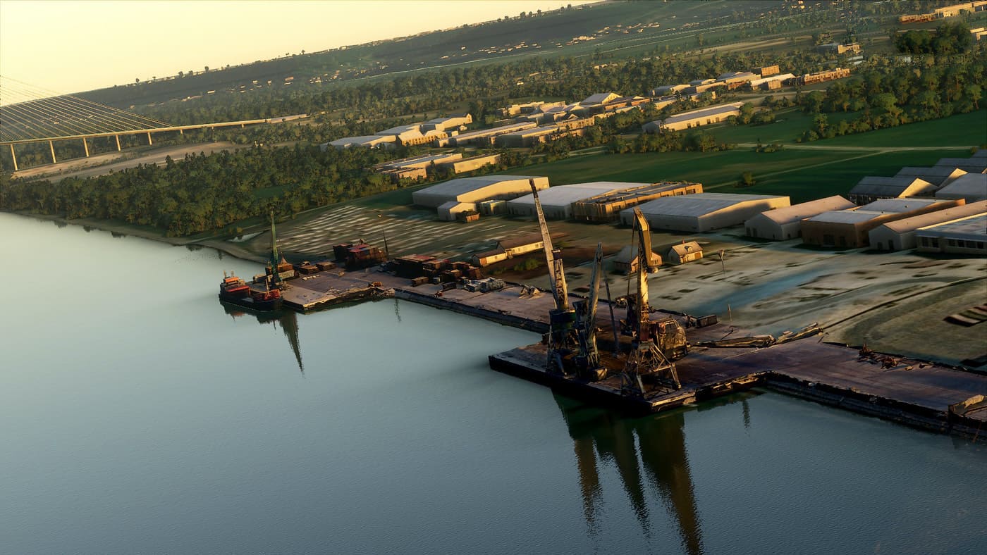
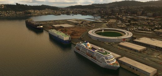
- Seaport (front only) with 2 boats docked & 5 cranes
- East Pier Lighthouse (red light at night) + a few houses
- Honfleur’s tower
- East and west dike lighthouse (green light at night – almost invisible on east because of automatic generated lights)
- Sainte-Catehrine church + bell tower (the largest church in France built in wood with a separate bell tower)
- Saint-Léonard church
- Market (0.1)
- Ferris wheel (0.1)
Notes
1 – There are some lights at night but I still have to work on it (i’d like to remove some automatic generated lights).
2 – Trying to find how i can improve the lightouses lights (real color, blinking or not, rotating/pulsing lights, … if you have photos/videos of this area or if you can techniquely help me on something else, you’re very welcome !)
3 – I made some images contrast corrections with Photoshop.
4 – I want to reduce the weight of the project.
Tell me if i made mistakes, i’ll learn from them.
Open to any suggestion, advice, or help to improve this scenery.
If you want me to add another building in this area, tell me.
Have a good flight !
(hope I didn’t make too many mistakes while translating)

