2NC0 – Mountain Air Airport (Burnsville, North Carolina) v1.0
2NC0 – Mountain Air Airport
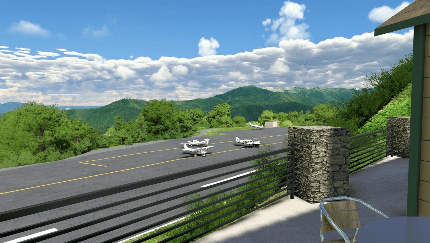
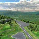
2NC0 is a private airstrip located on a hilltop near Burnsville, NC. The runway is a mere 2900×50 ft / 884×15 m with a steep upslope leading from 32 towards 14. The runway is surrounded on all sides by high terrain so special procedures are in place to make approaches and departures as safe as possible. The airport operates day VFR only with no services beyond catering and aircraft parking.
Features (1.0):
Resurfaced runway and ramp to better match the real airport
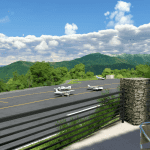
Custom 3D models for the county club buildings + very high fidelity golf carts
Realistic terraforiming on the runwway and surrounding area
Custom, handplaced airport markings
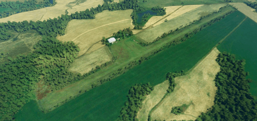
Removed a lot of satellite artifacts and random windsocks
Added/removed trees where appropriate
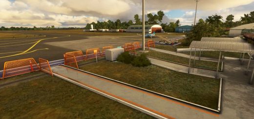
Added a lot of small details including bushes, vehicle parking, fences, golf carts, etc
Known Issues:
– Might not work with AI traffic
– Haven’t done any work on lighting in the country club area (it’s a day VFR only airport so I didn’t spend any time on lighting)
– Some country club buildings aren’t 100% true-to-life
– May find some oddities in the terraforming surrounding the airport. The runway and ramp should not be affected, though.
GPS Coordinates: 35.870801, -82.344220

