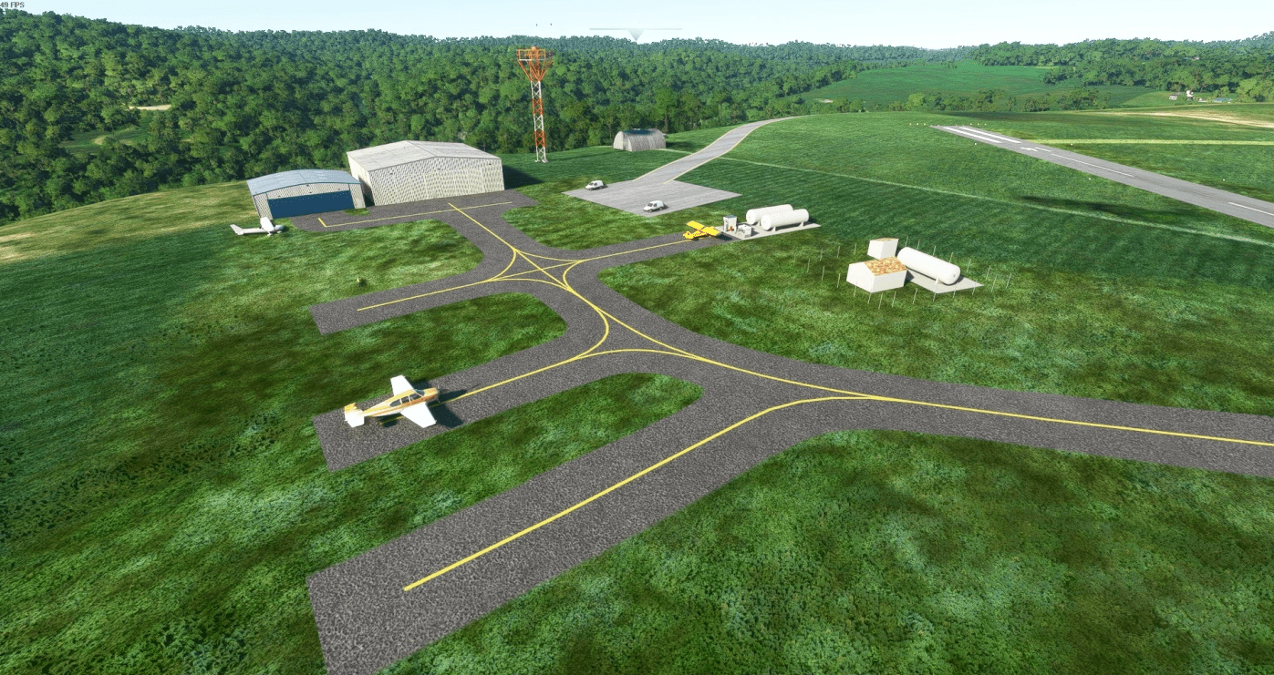
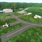
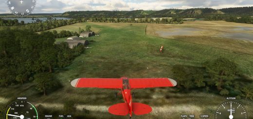
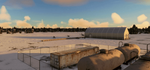
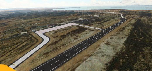
6P7 – McVille v1.2
McVille Airport (6P7) is a privately owned, public-use airport about 6nm northeast of Freeport, PA.
Airport Information:
Elevation: 332m MSL
Runways
14/32: 2800ftx60ft (854mx18m)
To note: the segmented circle is showing a right hand traffic pattern. This is incorrect. The actual airport’s SC doesn’t have traffic symbols on it anyway so eventually I’ll get them removed.
GPS Coordinates: 40.73553513693404, -79.59928094645049

