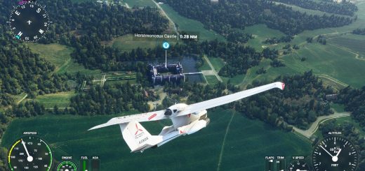
airport LFQT merville-calonne v1.0
Merville – Calonne airport (IATA code: HZB • ICAO code: LFQT) is an airport open to public air traffic (CAP) 1, located in the municipalities of Lestrem and Calonne-sur-la-Lys in the Pas -de-Calais and de Merville in the North (Hauts-de-France region, France).
It is used for the training of professional pilots and aeronautical maintenance technicians and for the practice of leisure and tourism activities (light aviation, commercial aviation, helicopter and model aircraft).
The airport was originally built by Nazi Germany after the occupation of France in 1940 as a Luftwaffe base (Fliegerhorst Merville), as part of the defences of the Pas de Calais area. After the area was liberated in 1944 it was converted by United States Army Air Forces engineers into an allied airfield. The airport was used by the Royal Air Force as Advanced Landing Ground B-53 Merville.
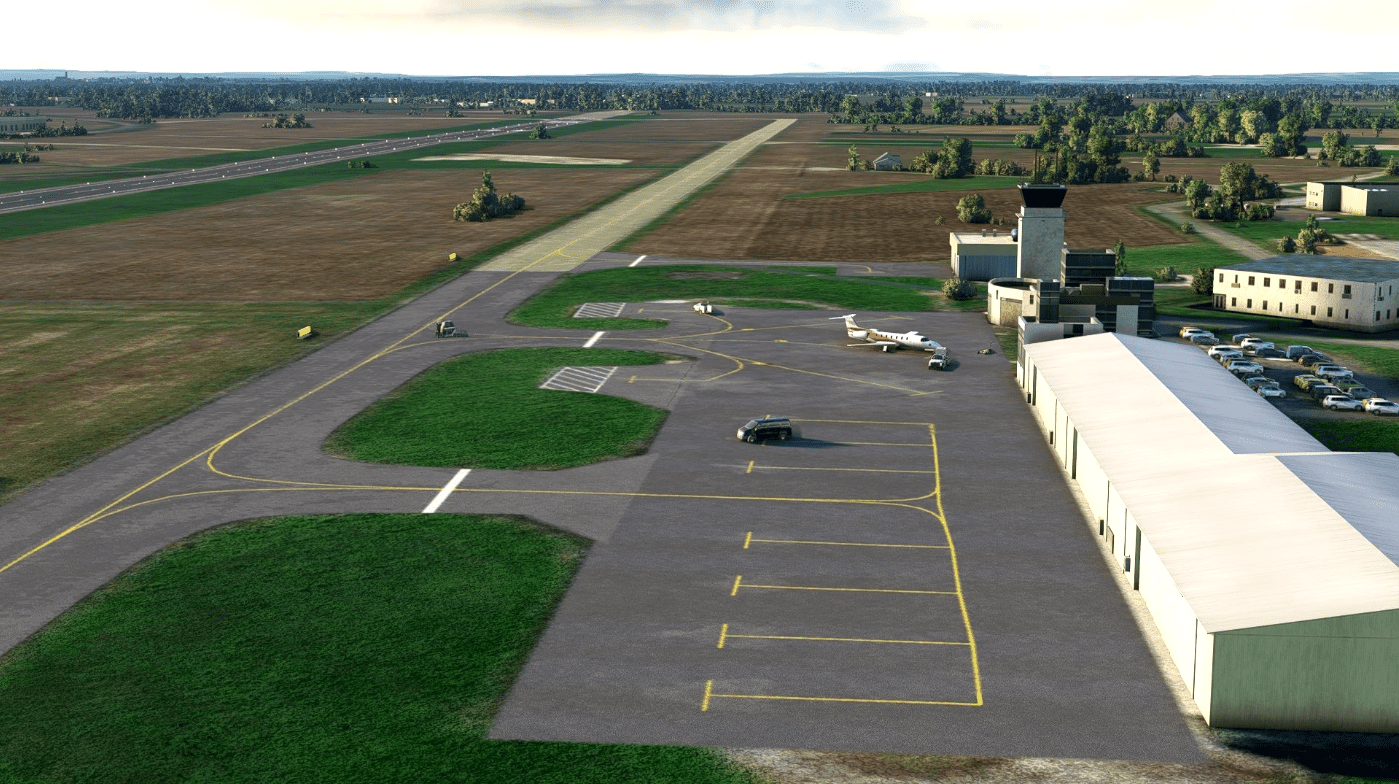
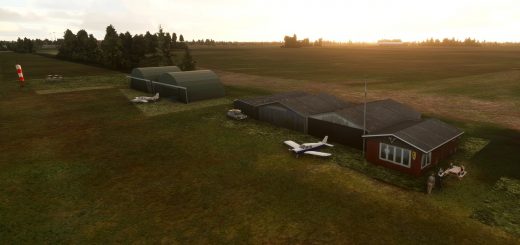
The mod improve this airport so that it is more realistic :
suppression of crosses on the runway
adding the wind sock
adding papi lights
adding cars on parking
adding “museum planes” of associations
adding some threes
improvement of the relief near the restaurant
reworking of the asphalt and grass runways
reworking of taxiways and aprons
reworking of runways lights
To be improved :
tower placement
adding –refuel equipment
GPS Coordinates: 50.62069421890283, 2.645054425204141

