AYQR – Sorimi Airstrip, PAPUA NEW GUINEA v1.0
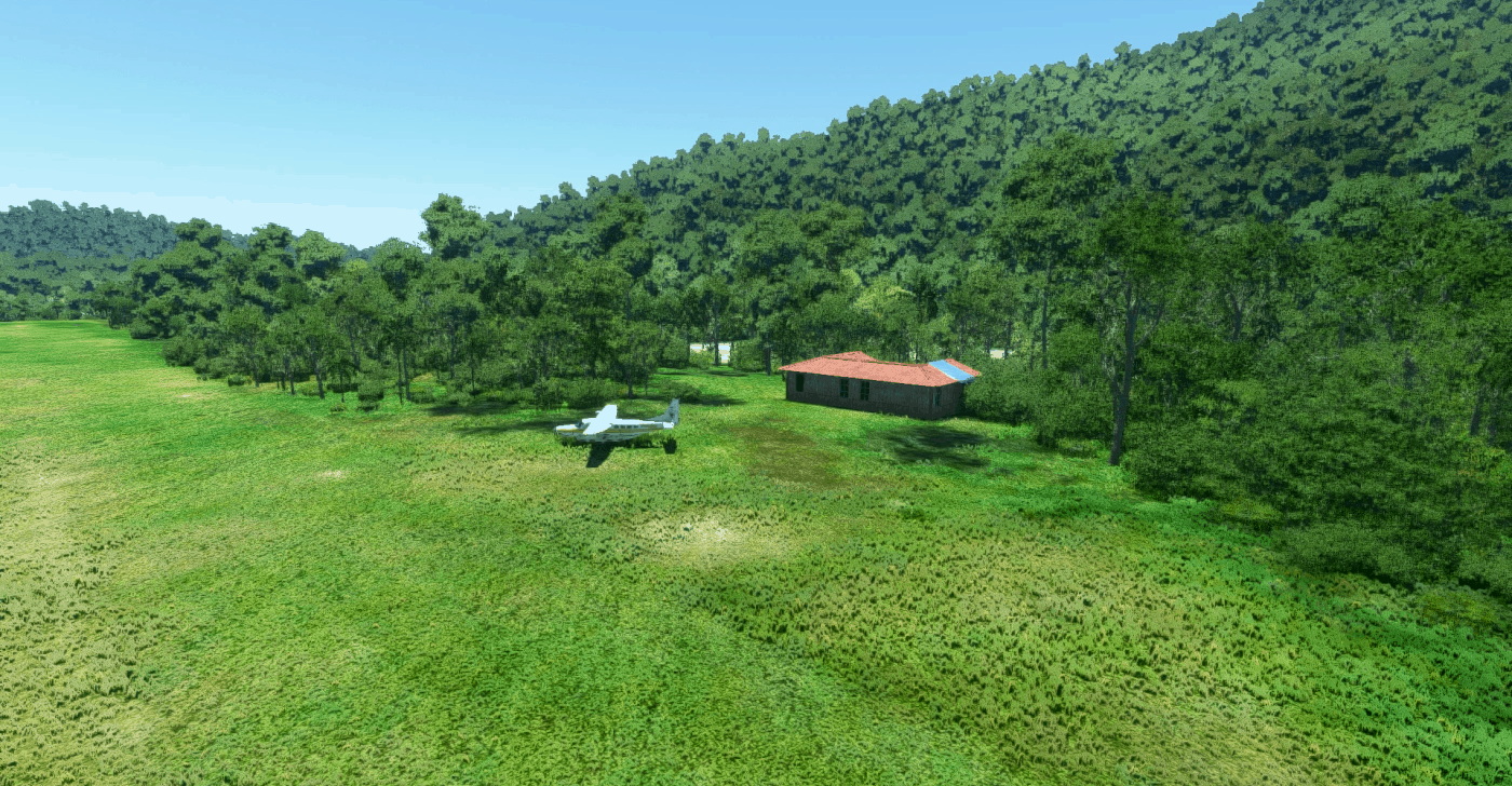
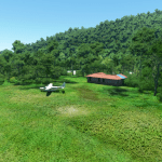
This scenery of Sorimi PAPUA NEW GUINEA is made for MSFS2020 and to be used for bush flying. To my knowledge it is not available in OnAir.
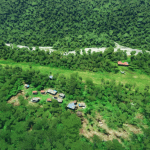
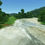
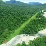
Sorimi is in the East Sepik area of Papua New Guinea. The airstrip is 30-12 and altitude is 480 ft. Actual heading is 298 and 118. Total length is 610 meters (2001 ft) covered by grass. I am 99% sure of the ICAO codem but if someone out there got some more correct information it is appreciated.
AYQR is currently missing in MSFS2020 and I added it since this is and airstrip used by Missonary Bush Pilot. And as always, it’s a work in progress
Some airstrips are missing in MSFS2020 and some need adjustements to be flyable. Main focus is to get an usable airstrip.
I initialy got inspired to bushflying after watching Missonary Bush Pilot Ryan on Youtube. I’ve been a patron of his since the release of MSFS2020 and I realy can recommend you to watch his YouTube channel and can also recommend Missionary Bush Pilot Patron for more details information about his flying, the locals and a lot more.
I started off making up missing airstrips in MSFS2020 that Missionary Bush Pilot was flying. Now I also make up those missing from OnAir and do a brush up of those that needs to be adjusted when if find them or someone ask me.
I am not a very good 3D desinger myself. I prefere doing scenery. If someone like to contribute with 3D materials usable for PNG/Indonesia airstrips you are welcome.
Simmate
GPS Coordinates: −4,323914, 141,375632

