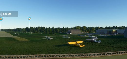
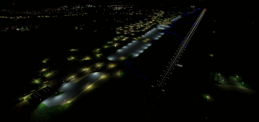
Bambui airstrip (BCP) Papua New Guinea v1.0
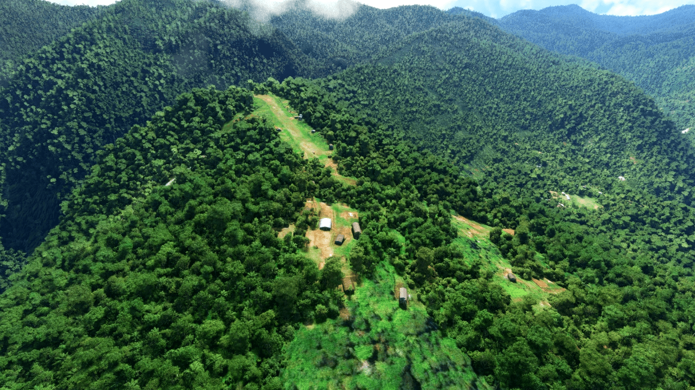
Bambui airstrip (BCP) is perched on a mountain ridge at an elevation of 6850′ and the dirt strip is 1250′ long with an upslope when approached from the west.
It is located in Papua New Guinea approximately 3Nm SE of Nankina.
Custom models and terraforming have been used to try to replicate the real life location but I haven’t found any real information on the strip other than the google earth and contour map details.
A couple of libraries have been used, namely my own pbk-effects library and the windy-things library. Both are optional and listed in the dependencies.
GPS Coordinates: -5.8636111, 146.4925

