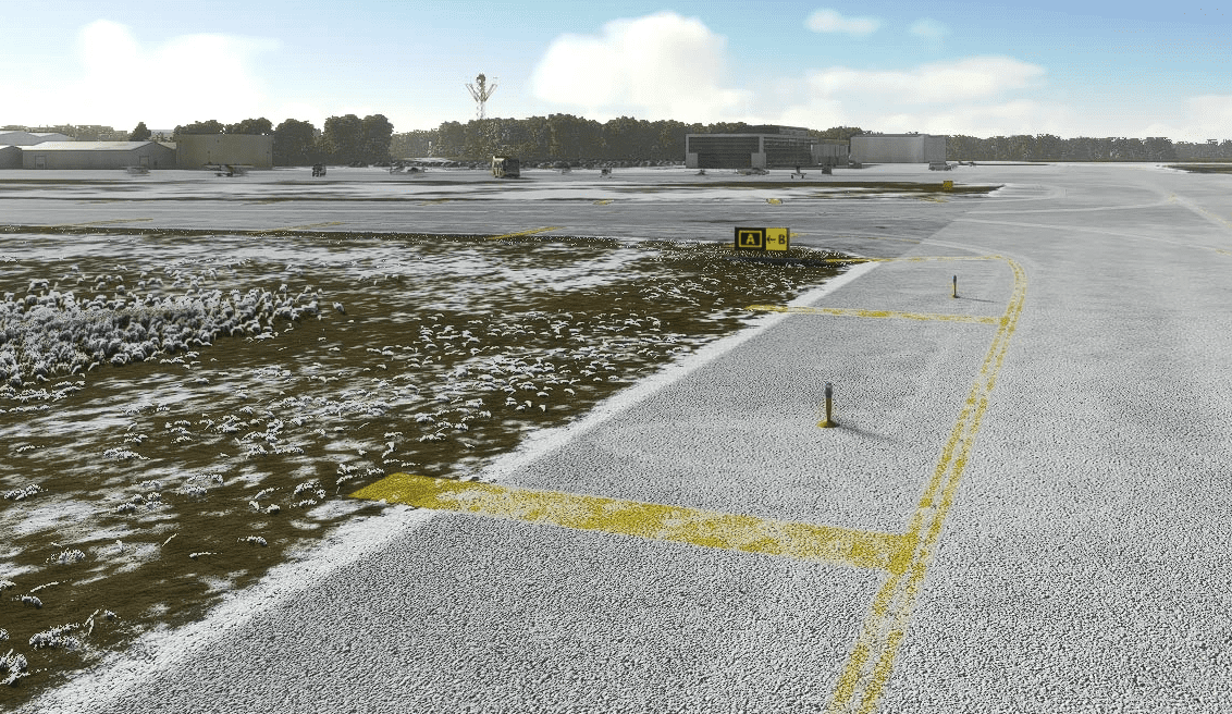
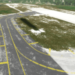
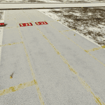
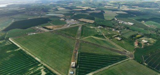
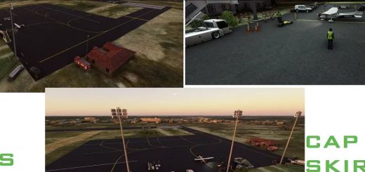
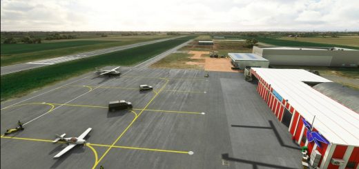
Brainerd Lakes Regional (KBRD) v1.0
Adapted from the stock airport, this version only seeks to correct the Taxiway Labelling and markings. Since there is no tower, there is no ATC either, making the accuracy of taxiways less important. I have positioned Taxi Signs wherever I could find them on Google Earth, but they seem to be scarce. I would be very interested to know if this is really the case.
Installation is just a matter of unzipping the folder into the Community directory.
GPS Coordinates: 46.4042222,-94.1338056

