EDDL enhancement V0.2
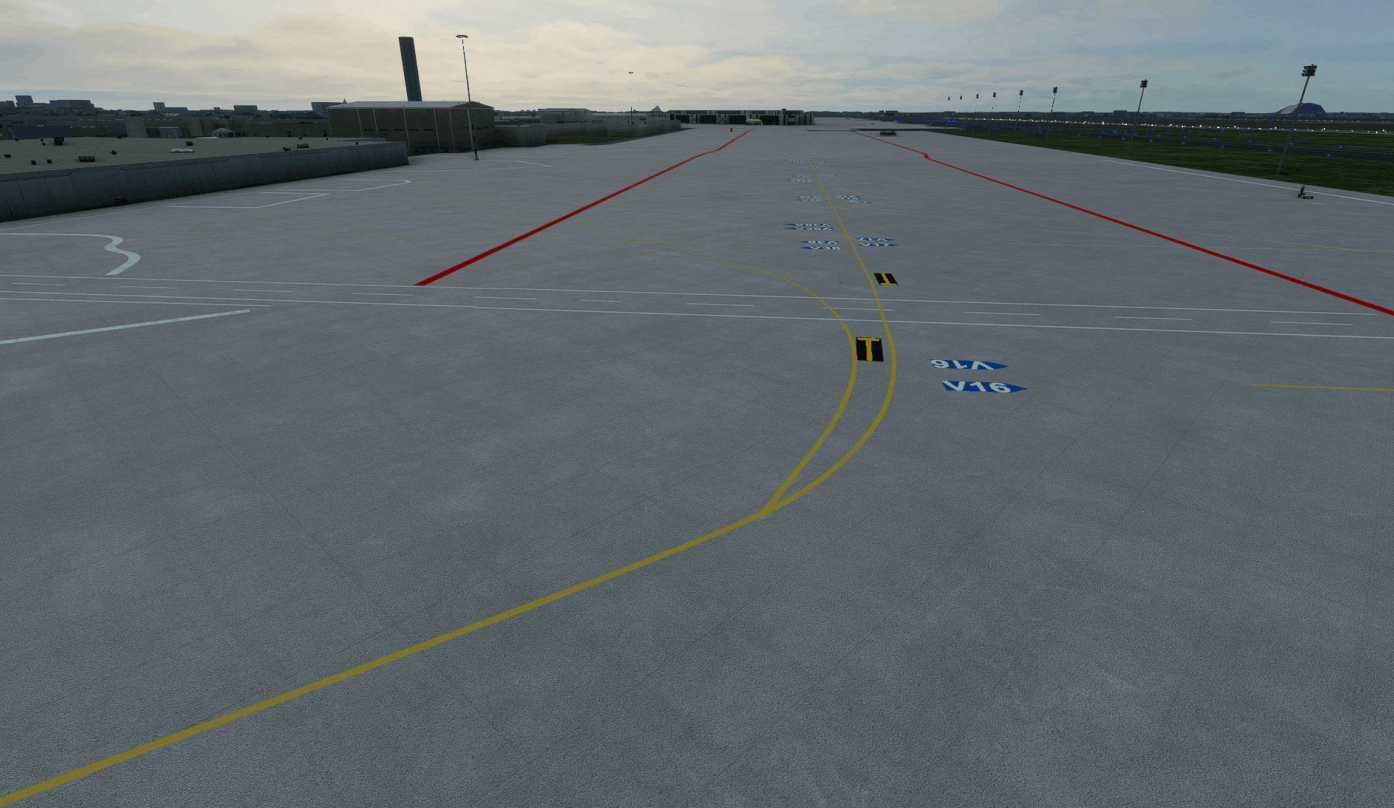
As a total newbie this is my first attempt to design a scenery in MSFS. It is just an overlay for the existing EDDL scenery. It is rather meant for the online fliers among us to find the right parking position. Only the apron was modified with the appropriate markings. The whole thing was built with the standard options of the SDK.
The apron markings were added.
A few floodlights were put up (at the moment at East Apron), from stock, nothing realisitc.
Taxiway signs were added.
The altitude data was adjusted (at the moment only flatten).
I used aerial photos and youtube videos as the database.
To-Dos:
The west apron is not finished yet (the aerial photos available to me are probably not up to date enough), as well as the GA area.
As soon as I learned how to create custom lines, the west apron will be developed.
As I said, this scenery is only an adjustment to be able to orientate on the airport taxi-wise. If you want more reality, there are now 2 payware sceneries that really represent the airport realistically.
GPS Coordinates: 51.28323587599746, 6.761836269231692

