EDGE | Eisenach-Kindel (EIB) v0.1
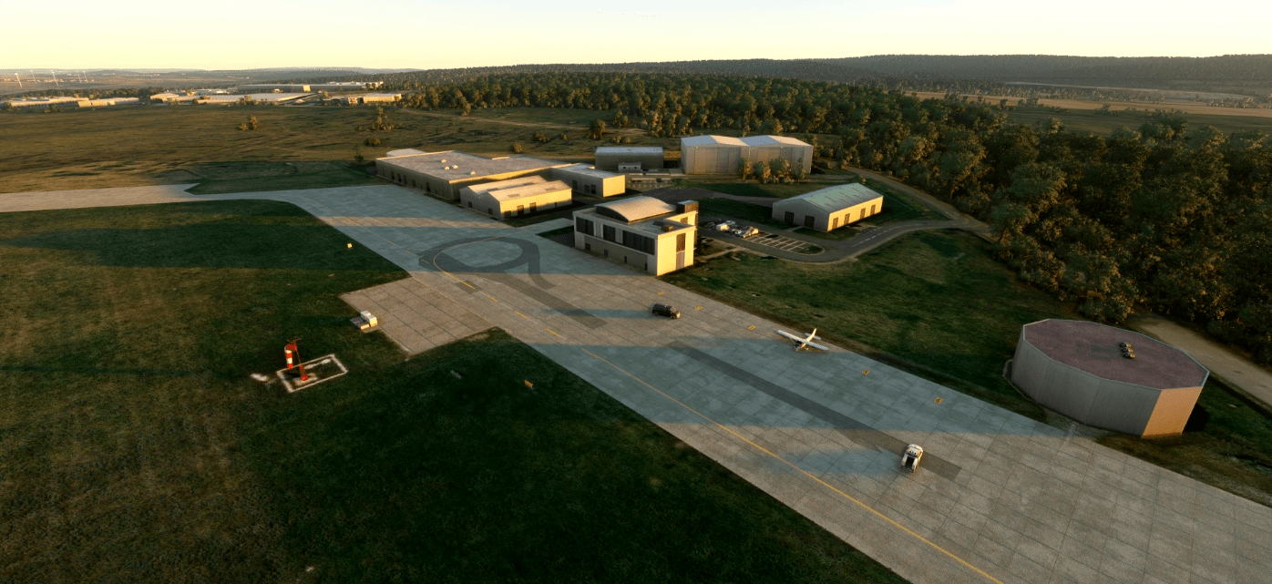
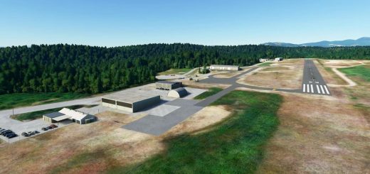
EDGE is a regional airport in the west of Thuringa in Germany.
This release 0.1 aims to remedy the flaws of the default airport scenery.
> frequencey adjusted for Eisenach Info to 119.755
> fuelstation correct postion (with GA ramp as fuel type automaticlly placed fuel station in front of aircraft position)
> offical windsock
> taxiway A,B,C corrected and signs postions according to satalite map (would need help with real photos, exspecially holding points)
> runway slope added for 1.500m area (16m Delta)
… still with generic buildings and no tower so far … more to come in the future if you -LIKE to see it.
… something incorrect? drop a note – at best with a picture
Happy Landings!
seven360 | desigend for Pilots & Performance
GPS Coordinates: 50.99290651181847, 10.478314005374441

