EGAR Rothera research base navaids v1.0
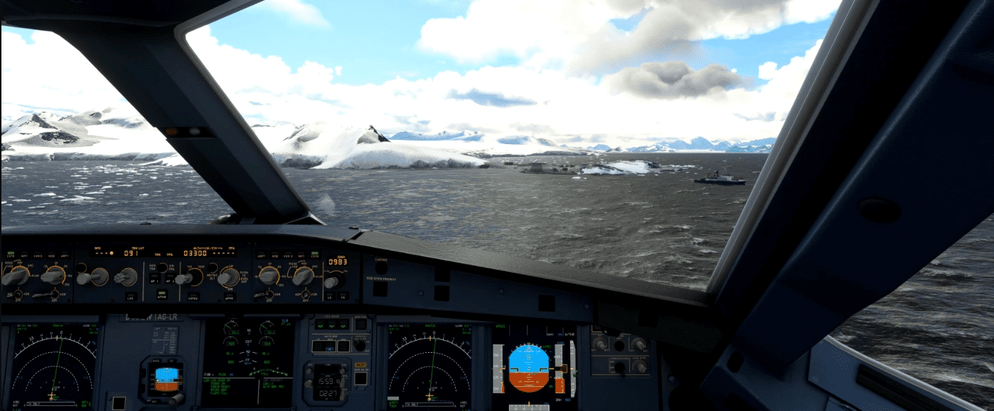
This package adds navigation data (Runway 36 RNAV and NDB approach and both runways RNAV SID) for rothera research base.
Charts found on the internet are included in the zip archive. The video presentation has been made with A32NX but this should be CAT A and B airport. By the way can be done with CAT C more as a challenge as the runway does not fit jets requirements (gravel) !
GPS Coordinates: -67.57049985229969, -68.12933340668678


