ENVD – Vadsø Airport, Vadsø v1.0
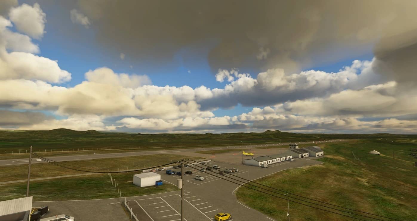
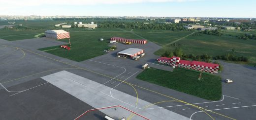
Vadsø Airport serves the 6,000 inhabitants of Vadsø and its neighbouring villages. It is a STOL airport operated by Widerøe DHC-8s, and is often visited by GA and air ambulance King Air B200s. Ceilings here are frequently low, with easterly winds in summer, and south by westerly winds with overcast weather in winter. As with the rest of the Varanger peninsula the climate here is very dry. The 970 meter runway features a challenging 1.5% slope; a 30-40 meter cliff before the 07 threshold; and 4.5 and 4.6 degree glide slopes with localizer for STOL operations.
Two versions are included in the zip. Only use one of them. *
This upload completes the Varanger Peninsula collection of airports! If you are interested in STOL airports featuring localizers, VORs, NDBs, and detailed runways, check out some of my other uploads.
V 1.0 Features
Fix for hills on approach path.
Corrected runway slope.
4.5 and 4.6 deg PLASI.
Improved airport markings, parkings, terrain, buildings.
Improved terrain in the vicinity.
GROOVES™ courtesy of Augustin Winther.
* Alternate version included without GROOVES™ in case of visual artefacts.
Known issues
Incorrect airport lighting (taxi, runway, apron, approach) and regional streetlamps. Waiting on SDK updates 🙂
Area beyond 1nm of airport has very poor height mapping.
No satellite imagery.
Not very good looking in winter.
Taxiway B is a little bumpy getting onto.
Grooves are only cosmetic; they do not change any related runway coefficients.
Unwanted apron crew.
Couldn’t delete enough forests.

