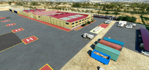
EPBK Bialystok Krywlany v1.0
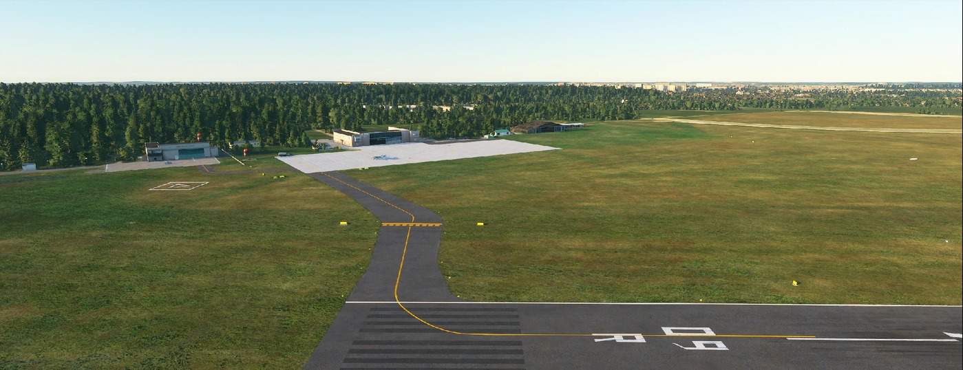
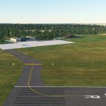
Scenery of the Bialystok Aeroclub EPBK Bialystok Krywlany (northeastern part of Poland).Airport elevation 153m (502 ft)
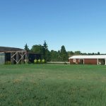
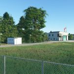
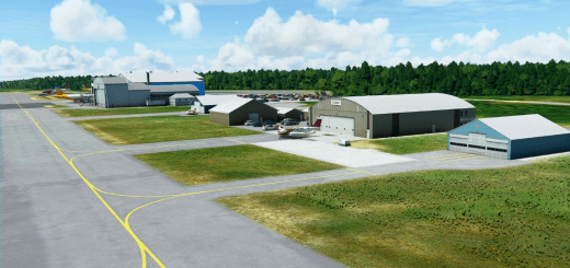
The scenery includes all the buildings belonging to the airport:- LPR building,- airplane hangar,- glider hangar,- Skydiving tent,- Modelers building
Airport infrastructure: – 09L / 27R grassy, 857m (2812 ft) – 09R / 27L asphalt road with a length of 1347m (4418 ft) (Please note the shifted runway thresholds due to the forest area around the airport)- Concrete apron- Grass apron- A total of 9 parking spaces for airplanes
Improved airport area textures (epbk-aerial-imagery.zip file)
This is a beta version. At present, it is not possible to perform air operations at night – lighting on the concrete runway is currently off
Both folders from zip files should be unpacked into the Community folder
GPS Coordinates: 53.10386976807334, 23.16300156236785



![LEMH – Menorca Airport [realistic ground] v1.0](https://www.allflightmods.com/wp-content/uploads/2020/11/LEMH-Menorca-Airport-realistic-ground-v1.0-4-520x245.jpg)
