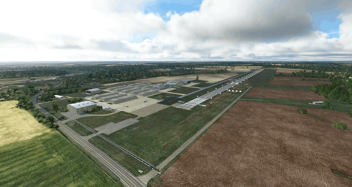
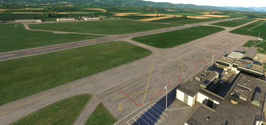
I68 Lebanon-Warren County Airport v0.1
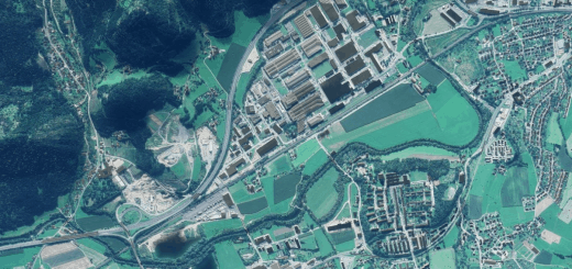
Lebanon-Warren County Airport is a public airport located 31 nautical miles northeast of Cincinnati-Northern Kentucky Airport (ICAO: KCVG). This is a from-scratch scenery for Lebanon-Warren County Airport (FAA LID: I68) using default assets. I have included a CGL Google Earth orthoimage for the airport as a seperate file.
This is my first scenery for MSFS, so tell me what I did right and what I did wrong.
GPS Coordinates: 39.460420, -84.252265

