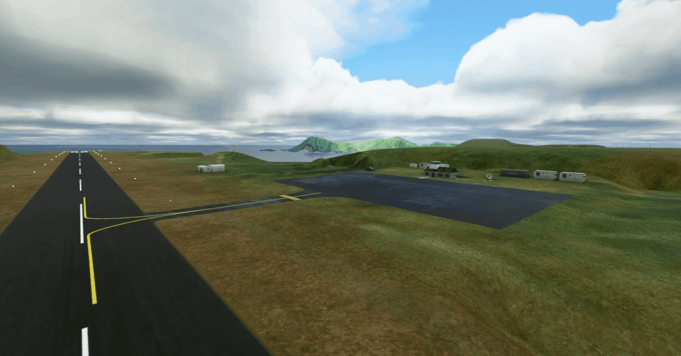
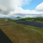
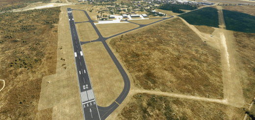
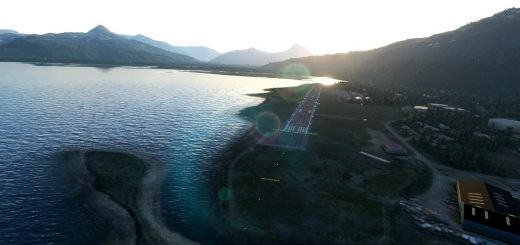
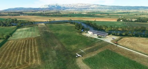
Juan Fernandez, AD Robinson Crusoe SCIR v1.0
This is a public airfield located at 10 km West of Cumberland Bay (Robinson Crusoe Island).
This package will fix the topographic elevations at the airport sorroundings and also the RWY is fixed including the APAPI lights RWY14 (3.2 degrees).
Built only with default MSFS SDK objects (enhanced scenery).
Airfield information:
ICAO: SCIR
RWY: 14/32 (ASPH)
LENGTH: 1007 x 18 m
ELEV.: 132 m / 433 ft
Installation:
Just decompress the main folder into your Flight Simulator “Community” folder (MODELLIB NAME READY).
If you have questions or suggestions, feel free to drop me a comment
Happy flights!!
GPS Coordinates: -33.66612, -78.93005

