KAEL – Albert Lea Municipal Airport – Albert Lea, MN v1.0
KAEL – Albert Lea Municipal Airport – Albert Lea, MN
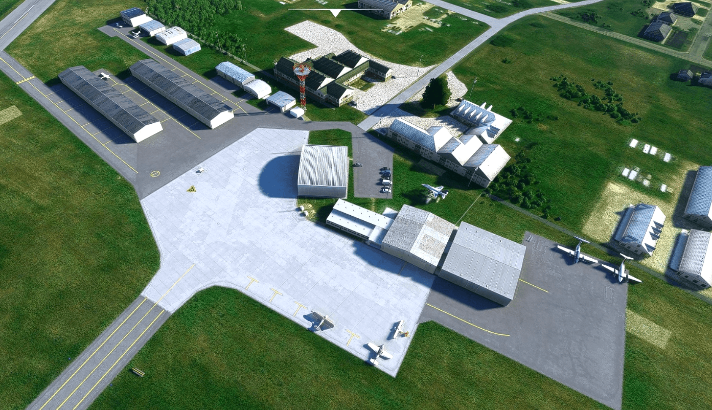
Albert Lea is a town in southern Minnesota. It boasts a General Aviation airport which is large enough for business jets yet has flight training as well. It has two runways, the primary runway (17-35) is 5000×100 with medium intensity lighting. The crosswind runway (5-23) is 2898×75 which is not lit but sufficient for your GA aircraft. This airport was suffering from some of the common woes to most small airports in MSFS, it had some interesting AI generated buildings where hangars, oddly placed and incorrect taxiway signs and taxi lights all over the place. I have updated it based on satellite photos as well as what images I could find.
Updates:
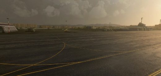
– Taxiway names corrected and appropriate signage placed based on available photos
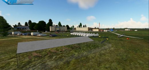
– Buildings replaced with Generic Hangars to match approximate size and type (a few were pulled from World Update sceneries so if you don’t have the world updates there may be a few hangars missing)
– Night lighting added
– 100% hand placed taxiway lights
– PAPI’s added for 17-35 to match current charts. ODALS added for Rwy17 to bring it up to date with current charts
– Foliage added around the airport to match placement on satellite photos (especially on the south end of the field)
– Various Scenery objects added for additional immersion
– Helipad apron marking added to match satellite photos
– Da Bears! Bears added to the area even though I don’t think that they go this far south in MN. Why? It’s fun and I know they are 100 miles to the east of this location.
– Moved the rotating beacon to the proper location
– Added gas station objects east of the field (colinj library object )
Installation:
Extract the scenery folder from the zip file and copy to your Community folder
As always – enjoy flying in Minnesota!!!
GPS Coordinates: 43.68100381082899, -93.36858411008653

